1 State
4 Islands
14 Days
1,789 Miles
-278: O’ahu
-329: Kaua’i
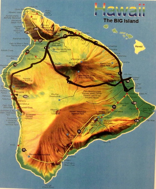
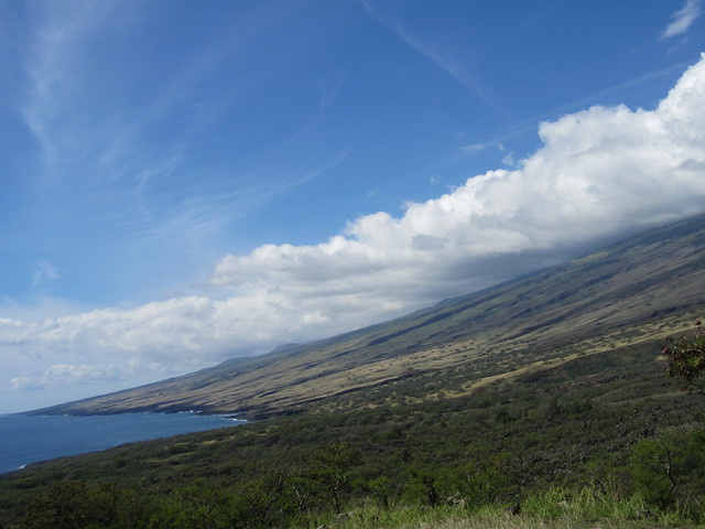
-752: Hawai’i
-430: Maui
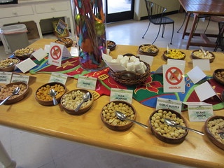
37 Restaurants
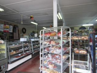
21 Bakeries
13 Frozen yogurt and ice cream shoppes
3 Beverage places
3 Shaved ice stands
3 Whole Foods Markets (total is now 69)
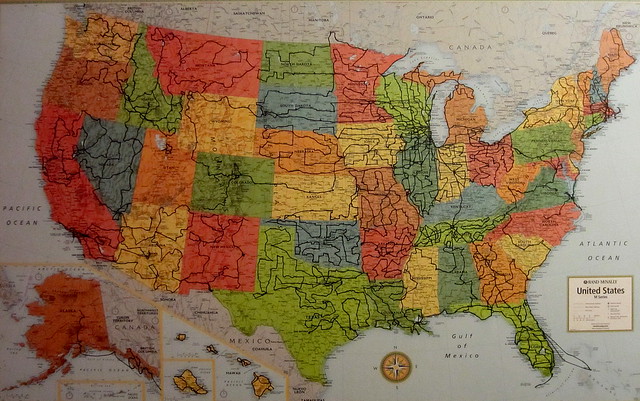
50 states. I can now proudly say I’ve been to every state.
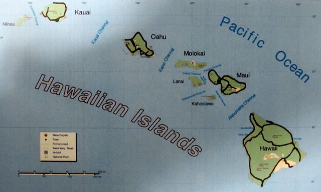
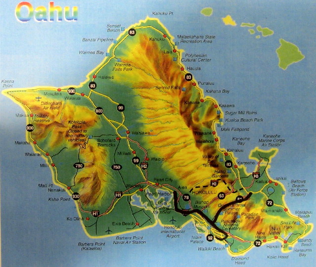
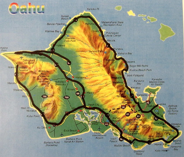
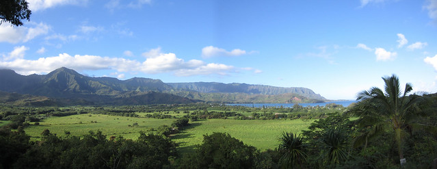
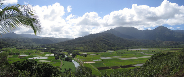
Comprised of 8 major islands the Hawaiian Islands lay 2,000 miles southwest of California. In 1778 Captain Cook was the first westerner to land on the islands and they became a state in 1959. My trip included 4 of the islands. One is private and one is not inhabited. In order of visiting and what they are best known for:
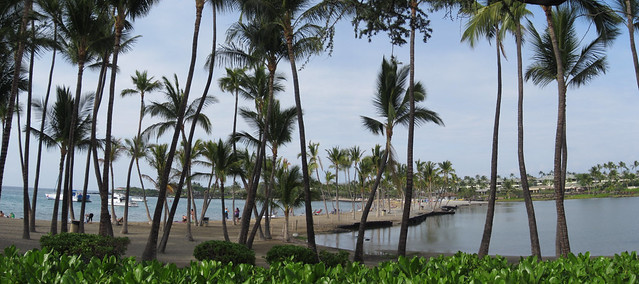
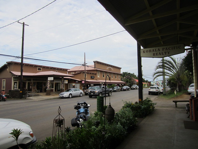
O’ahu: Honolulu, Pearl Harbor, North Shore surfing
Kauai: The Garden Isle, laid back
Hawaii: AKA The Big Island, Hawaii Volcanoes National Park
Maui: Resorts, The Road to Hana
 >
>Thursday, November 15th, 2012
3 hour flight from Milwaukee to Dallas. 2 hour layover. 8 hour and 35 minute flight to Honolulu.
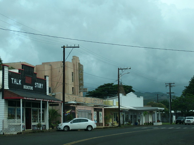
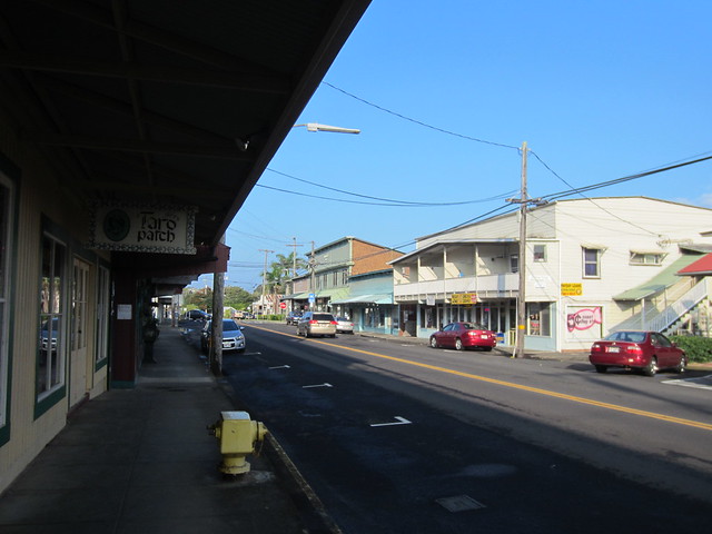
Although bogged down by jet lag and being up for twentysomething hours I still wanted to set the foundation of where I was so headed to downtown Honolulu.
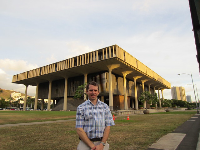
The obvious first destination was to get the traditional picture in front of the state capitol.
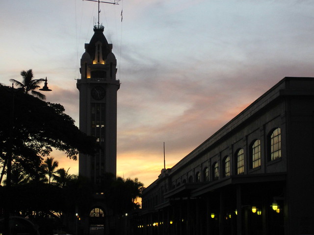
The tower at Aloha Marketplace was built in 1926 for the then astounding sum of $160,000. Being the location of the steamboat docks this is where the Hawaiian greeting/farewell gained popularity.
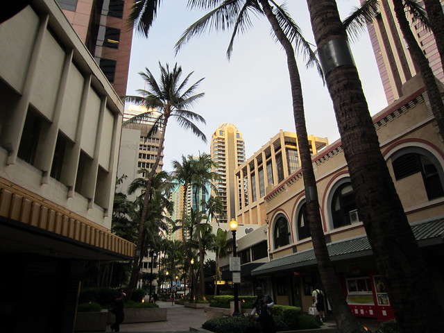
Took the shore road east into Waikiki marveling at the string of high end shops and sidewalks of people.
Friday, November 16th, 2012
The morning run followed the ocean-side string of intertwined mega resorts and their shops, restaurants and pools.
Breakfast at Duke’s Canoe Club. The pineapple and coconut bread pudding was splendid.
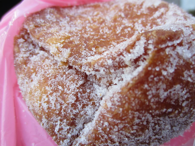
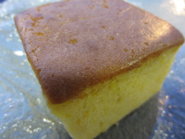
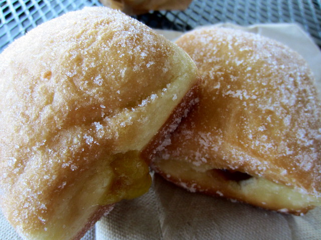
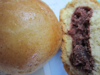
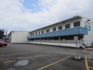
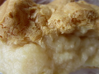
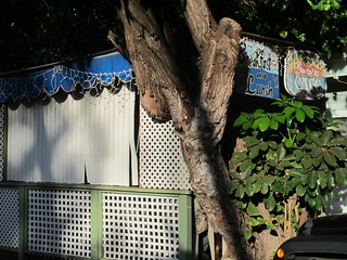
An immigrant from Portugal, the Malasada is the foremost Hawaiian bakery choice and Leonard’s Bakery is frequently named the best.
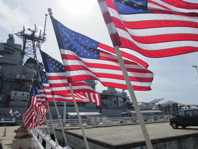
Pearl Harbor is an intricately shaped bay west of Honolulu and a very active naval base.
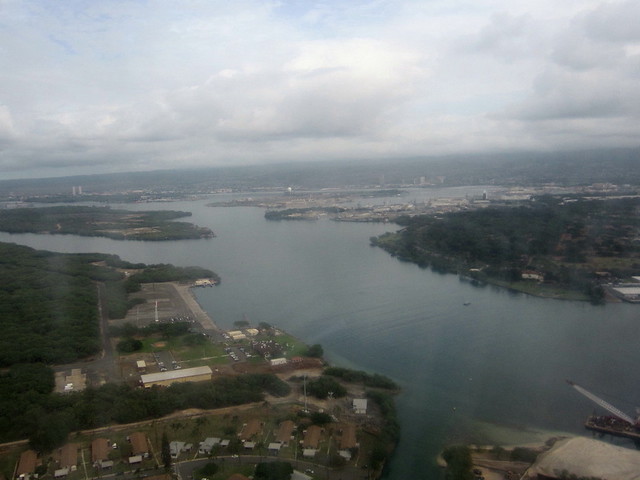
On the eastern shore is the visitor’s center for the day that will live in infamy.
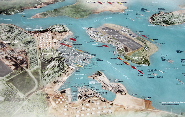
This map does a fantastic job showing Pearl Harbor on December 7th, 1941. Hickam Airfield is at the left, the current visitor’s center to the bottom right and battleship row in the center. Ships in red were sunk and orange heavily damaged.
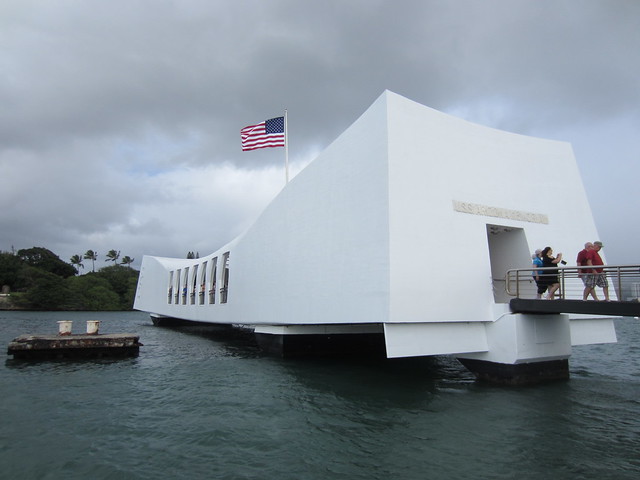
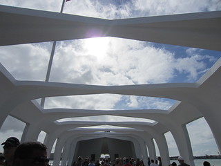
A moving film is presented before boarding skiffs to the USS Arizona Memorial. During the Japanese attack an armor piercing bomb pierced its forward artillery magazine instantly blowing up this battleship.
The graceful structure lies perpendicular to the battleship that still holds the remains of 955 sailors.
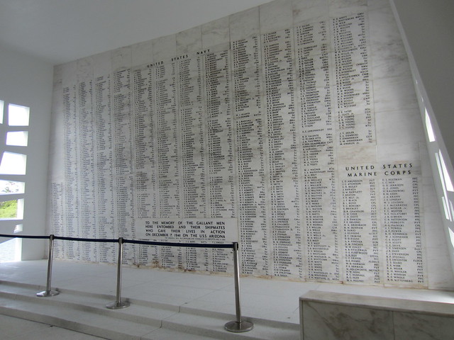
It was emotional to gaze upon the 1,177 names etched in marble.
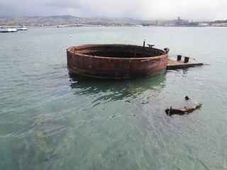
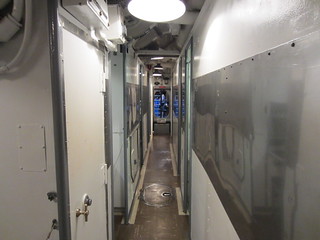
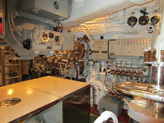
Back to the visitor’s center to tour the USS Bowfin. Commissioned on December 7th, 1942 this sub served 8 tours and sunk 26 vessels.
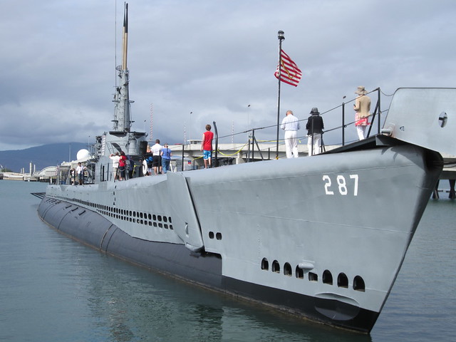
A shuttle bus brings tourists to Ford Island to tour the USS Missouri.
For history buffs like, ahem, me this battleship is known for being the site of the signing of peace on September 2nd, 1945 in Tokyo Harbor. It was at this spot the table was set up and representatives from the allies and Japan signed the document.
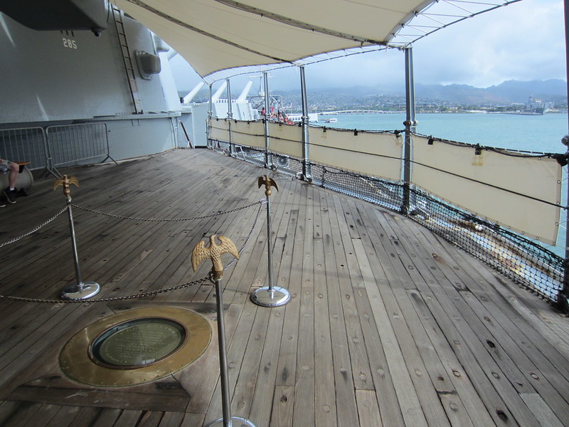
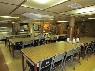
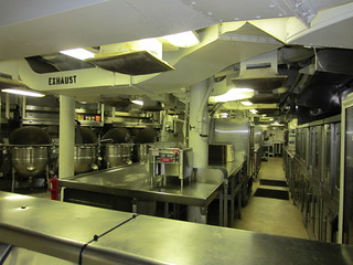
A self-guided tour covers several decks of Mighty Mo. Commissioned in June of 1944 she served until March 1992.
No matter how many ships I have toured the sense of their intricacy and honor of those who served on them never diminishes.
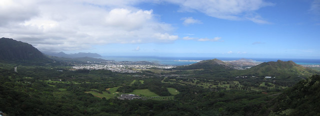
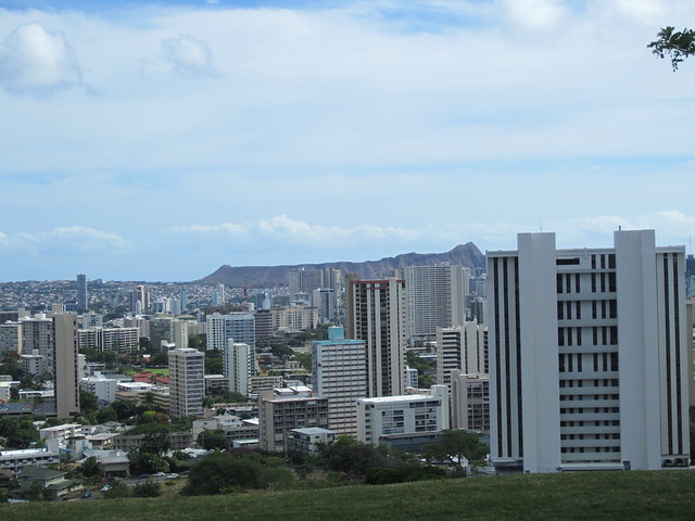
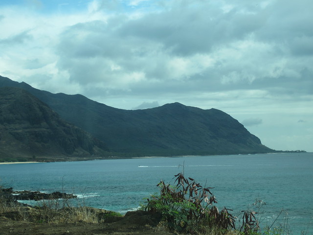
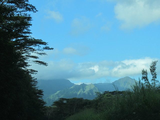
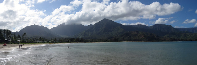
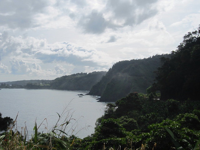
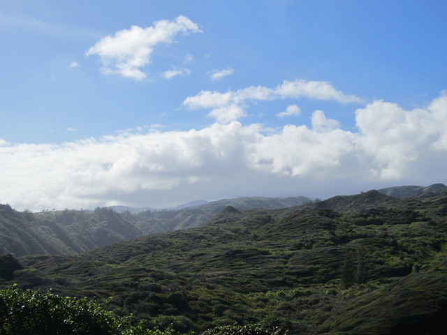
In the mountains just northeast of Honolulu is a view of the eastern coast of O’ahu.
The National Memorial Cemetery of the Pacific occupies a crater north of Honolulu
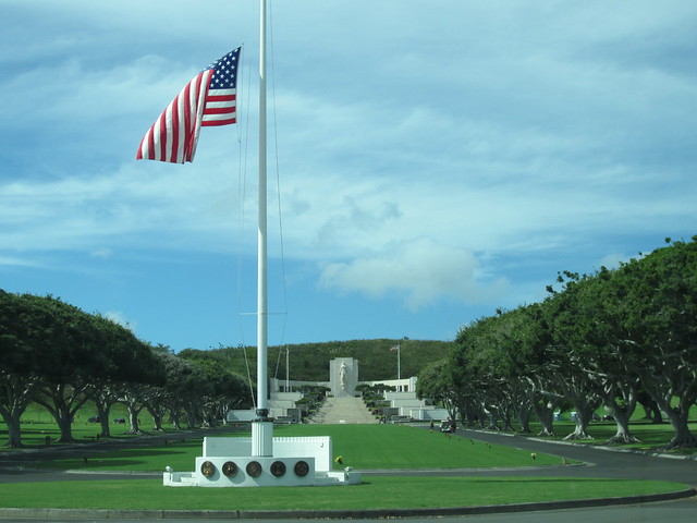
The road up has an outstanding view of Honolulu and Waikiki.
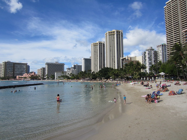
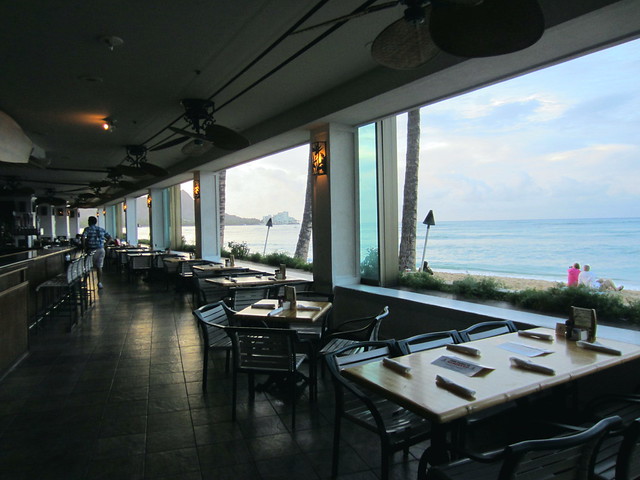
Back to the hotel to work and then walk in the waters of Waikiki Beach and admire the...scenery.
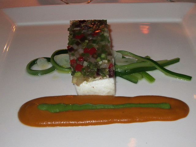
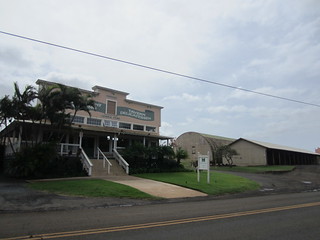
Chef Mavro lies in the northeast part of Honolulu, a borderline seedy area for such an acclaimed high end destination.
Quail-Curry
Free range quail wrapped in pancetta on a jumbo hamakua ali’I mushroom over curried vinaigrette.
Day Boat Catch-Ratatouille
Steamed fish, ratatouille declinaison, zucchini ribbons, essence of basil and jus.
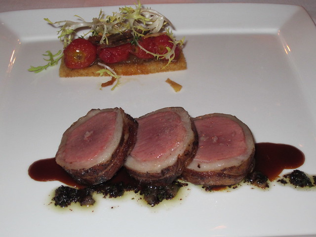
Lamb-Harissa
Colorado lamb loin, pissaladiere with confit cherry tomatoes, Maui onion, lamb bacon, garlic chips, black olive powder, parsley oil and lamb jus.
Malasada-Lilikoi
Trio of malasadas, lilikoi declinaison of curd, chiboust and ice cream Greek yogurt parfait with candied pistachio and urfa biber peppercorn sauce.

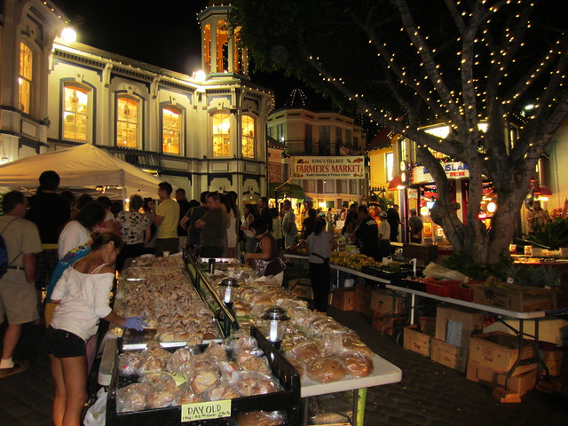
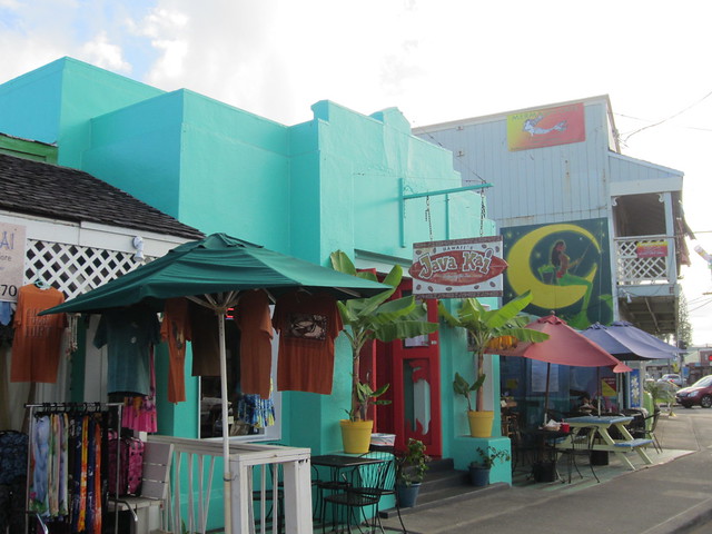
Enjoyed walking Waikiki and soaking up the vibe of all the tourists. At King’s Village there was a Farmer’s Market where I got bakery and to watch an artist paint to blaring music to an enthusiastic crowd.
Saturday, November 17th, 2012
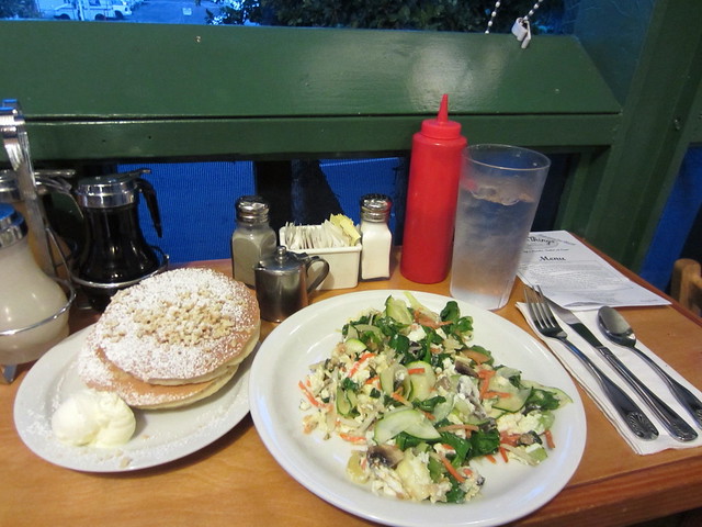
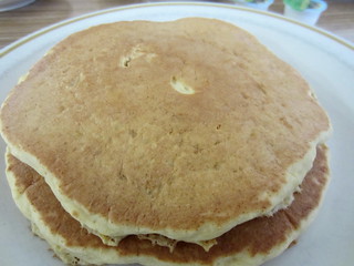
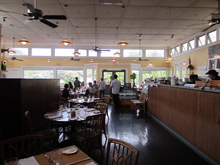
Eggs ‘n Things started as one of those local’s favorites and then the tourists caught wind and today there is a line every morning.
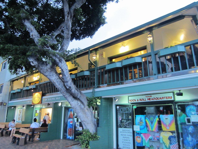
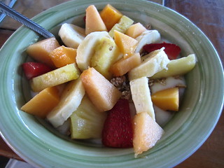
I got one of the balcony counter seats in the 2nd floor dining room (visible in picture above) and kept it healthy with Egg Whites and Veggies and not so healthy with a side of their famous Macadamia Nut pancakes which I adorned with coconut and pineapple syrups. So light I had to hold them down with my fork.
That mountain you see in pictures of Waikiki is Diamond Head and is actually a crater. This is the inside of it.
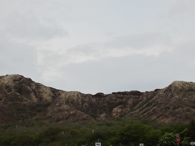
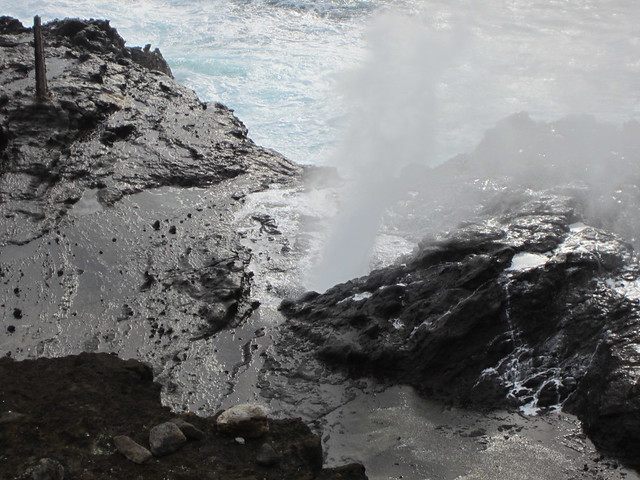
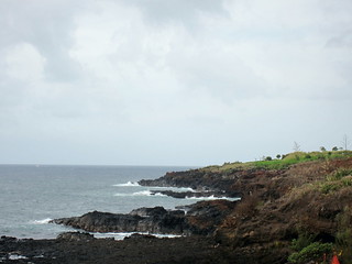
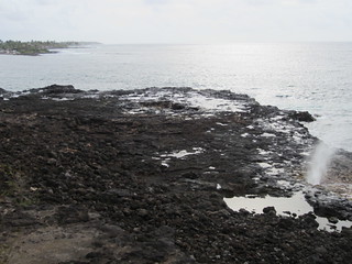
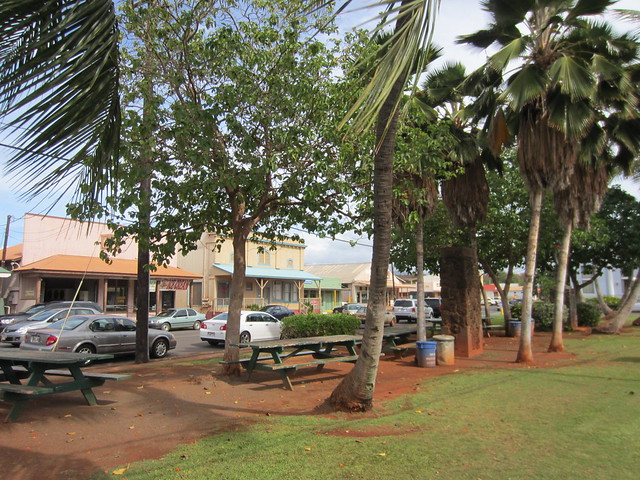
Headed out of town to circle the island heading east starting with the photogenic Hanauma Bay.
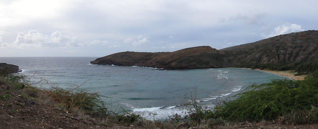
Hanauma Blow Hole.
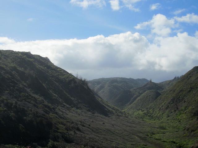
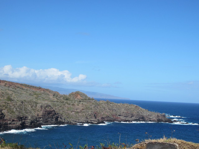
Made the curve and headed north on the east side of O’ahu which is called the Windward side.
Stops in Kailua included Agnes’ Portuguese Bake Shop for a Pumpkin Bran Muffin.
Continued north with the mountains rising sharply to the left and pounding surf on the right.
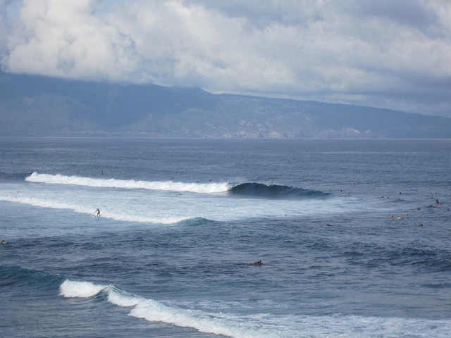
The North Shore is famous for surfing.
Haleiwa was worth 3 food stops.
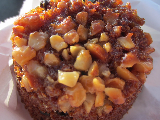
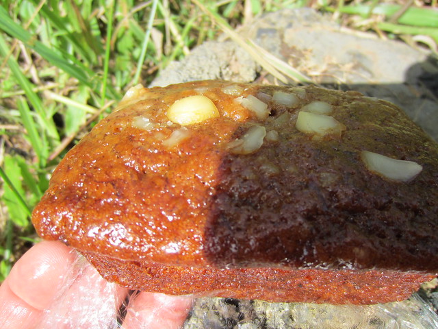
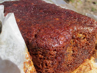
First at Waialua Bakery for a dense Banana Bread Pudding. This weighed 12 pounds. I kid you not.
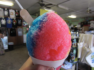
Matsumoto General Store has become famous for shaved ice.
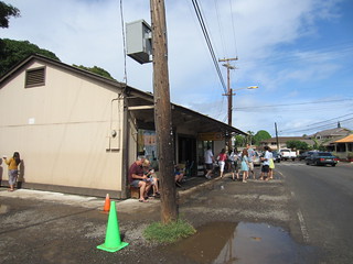
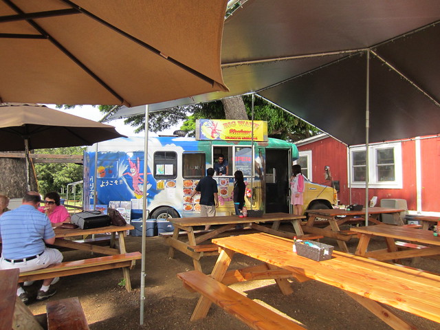
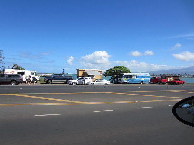
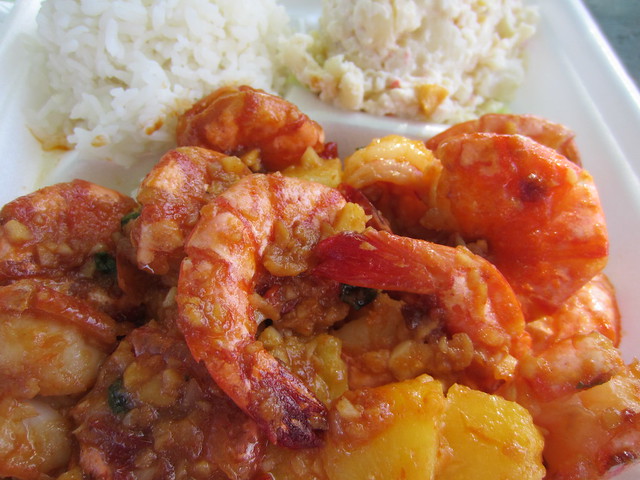
Big Wave Shrimp will be featured on Food Network’s Diner’s, Drive-Ins and Dives.
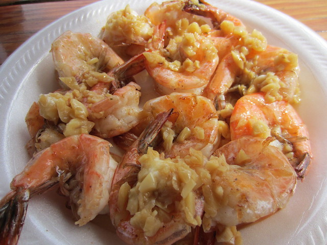
Garlic Shrimp.
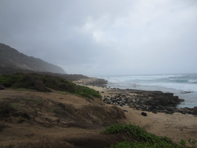
This is the end of the desolate northwestern road.
Headed down the center part of the island where it flattened out.
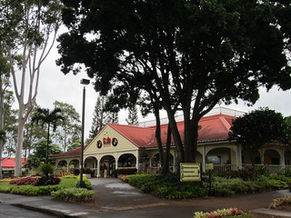
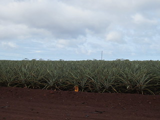
At the Dole Plantation took the Pineapple Express train to see various tropical fruits being grown.
Back towards Pearl City and headed north along the western shore. This stretch was pallid with unassuming strip malls and faded apartment complexes.
The end of the road near the NW corner of the island.
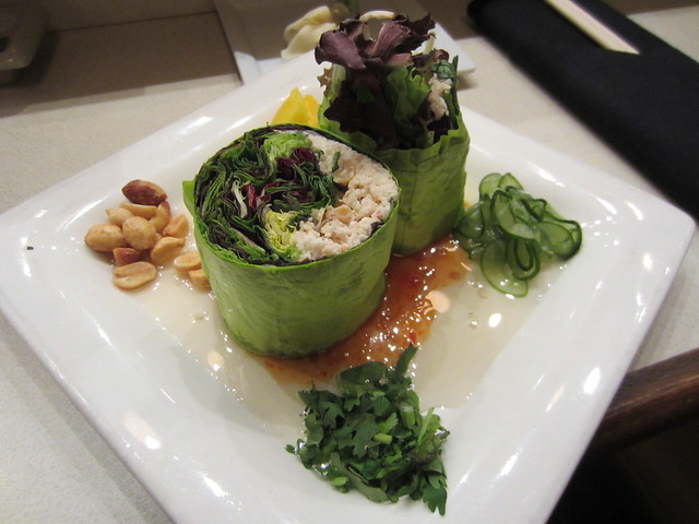
Back to Waikiki and to dinner at the very highly regarded (best sushi in the world) Sansei and luckily snagged a seat at the sushi bar.
Sansei’s Mango Crab Salad Roll
Asian crab salad, mango, Kula greens and peanuts wrapped in a mamenori handroll.
Panko Crusted Ahi Sashimi Sushi Roll
Sashimi grade Hawaiian ahi, arugula and spinach wrapped into a sushi roll, panko-crusted, flash-fried.
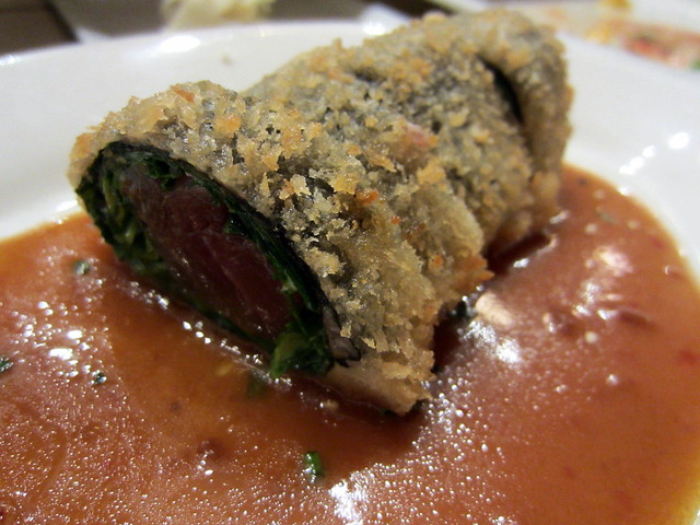
Spectacular!
Walked Kalakaua Avenue enjoying people watching, seeing some street performers and getting Cold Stone Creamery.
Sunday, November 18th, 2012
After lifting at the fitness center and a run towards Diamond Head went to the breakfast buffet at Shore Bird. Getting used to these breakfast settings.
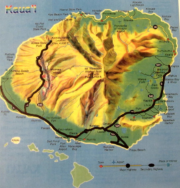
21 minute flight from Honolulu to Lihue, Kaua’i.
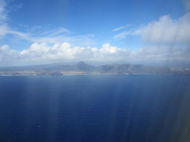
The smallest of the islands I visited, Kaua’i had to be included to see a Hawaiian island lacking major tourist attractions.
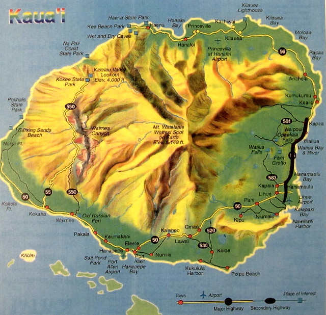
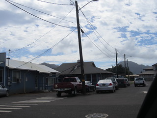
A port town on the SE curve of The Garden Island, Lihue is an old sugar town and that plantation atmosphere still endures.
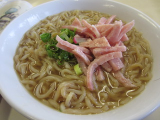
It took dodging some roosters down a side street to get to Hamura Saimin and have a bowl of their namesake.
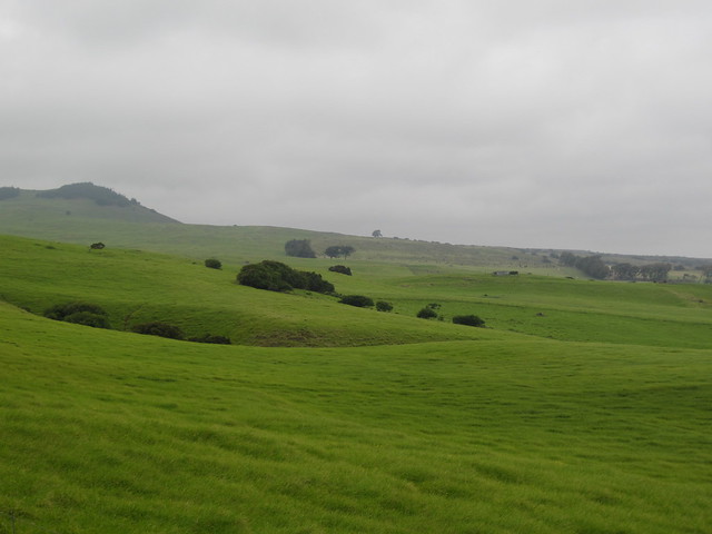
Kaua’i quickly charmed me with its greenery and sense of orderliness.
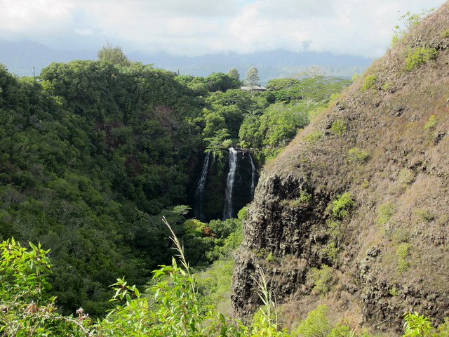
Opaekaa Falls.
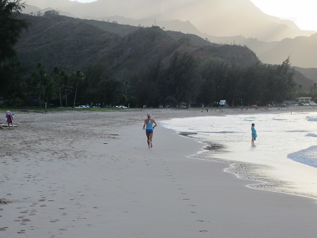
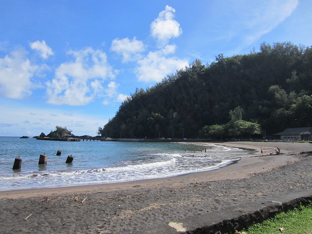
Checked into the resort and went down to the ocean to frolic in the water.
Took a drive north stopping at Tutti Frutti for frozen yogurt and O’ My Buns! for a Chocolate Chip Cream Cheese Bun.
Monday, November 19th, 2012

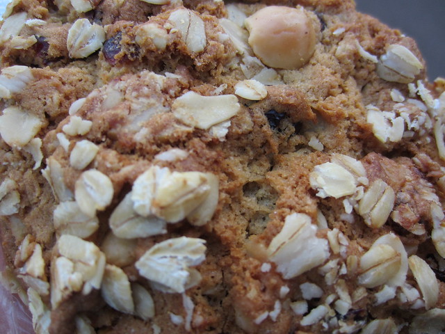
A morning run listening to the pounding surf and then headed north. An Oatmeal Cranberry Macadamia Nut Raisin Cookie for breakfast first.
The radio station was reporting a lost iPhone, the surf report and the weather report said 70s was “cold”.
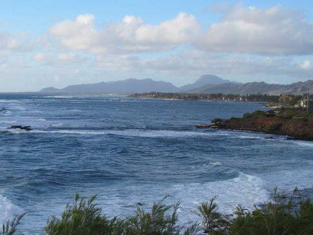
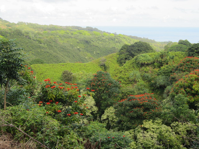
The drive north along the eastern coast was leisurely with a most acceptable view.
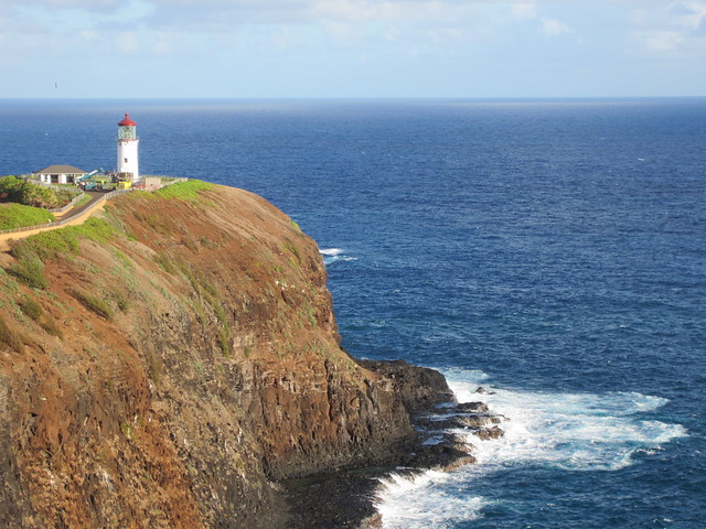
Making a detour to the east to see Kilauea Lighthouse.
Heading west the scenery became even more captivating.
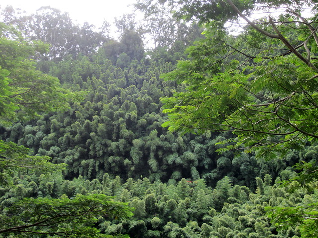
The lush vegetation became denser getting closer to the mountains.
On the northwestern half of the island the road became narrow and signs of civilization less with isolated beaches peeking through the trees.
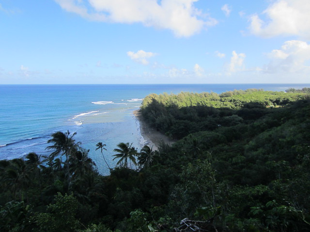
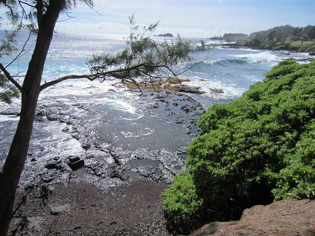
The road culminates at Ke’e Beach.
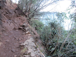
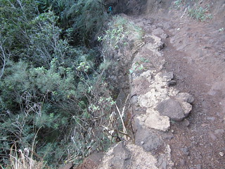
Adjacent to the beach is a precipitous trail whose rock strewn surface quickly climbs.
A stop to look back at that beach.
The climb upward continued.
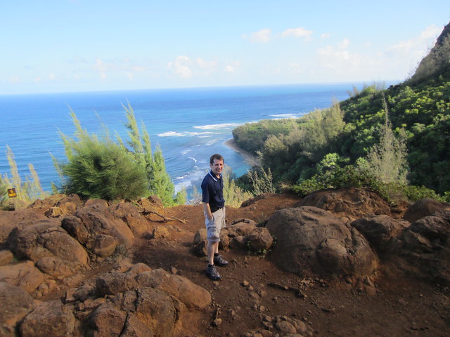
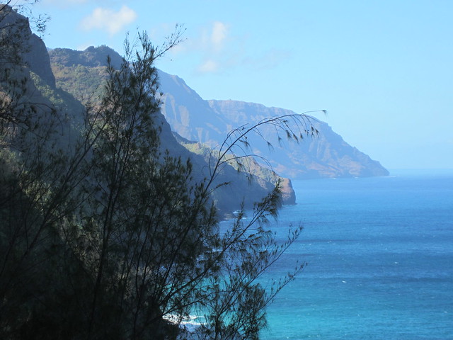
A hike up a rocky, pitching trail rewards with dramatic views of the western coast.
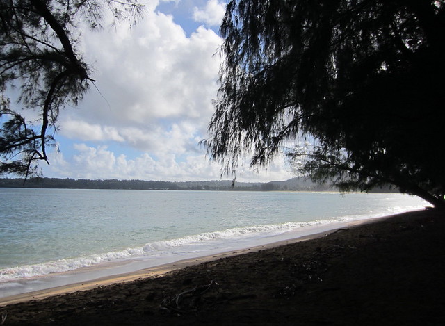
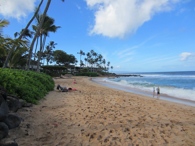
Back in the car after the hike to double back to appealing Hanalei. Situated on a cove it has two beaches, this one is on the northeastern curve.
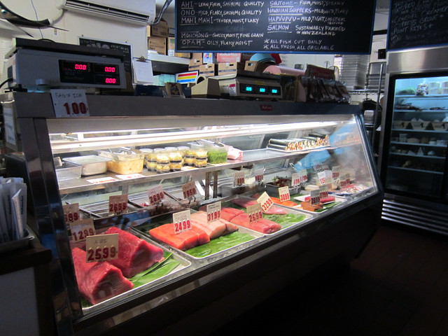
Swung by Hanalei Fish Market for some fresh Ahi.
Into the tourist friendly town to look for gifts for the nieces.
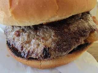
Got some yogurt with pineapple and then a 100% Kaua’i beef burger at Bubbas. While waiting I noticed dozens of picture of celebrities reminding me the rich and famous do vacation at this remote outpost.
Doubling back to the resort and the views remained stunning.
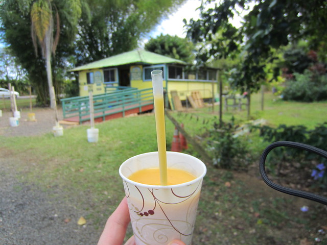
Stopped at Banana Joe’s for a Smoothy made of local pineapple, mango and banana. (Yes, they spell it that way.)
Worked and then headed back to the north shore stopping to check out Kapaa by foot and made swing inland to see residential areas.
Forty-five minutes later I was back in Halewia and walked the beach.
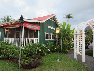
Dinner was at the charming Postcards Café.
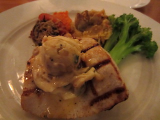
Grilled Mong Chong
Pesto tomato, carrot ginger puree, chipotle mashed potatoes and steamed broccoli.
Tuesday, November 20th, 2012
The radio station was reading horoscopes.
Today was exploring the southern and western coasts and island interior.
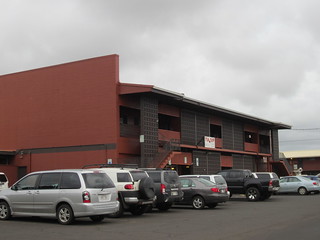
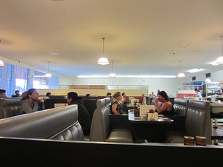
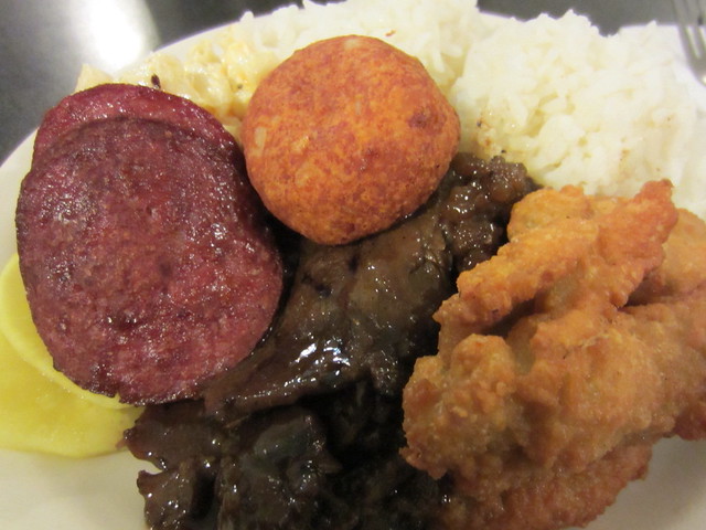
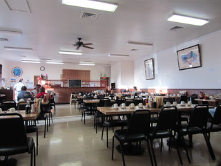
On the way south stopped in Lihue for breakfast at local’s fave Tip Top Motel & Café
Bento
Chicken, Corned Beef Hash, Teri Meat, Gotoberg Sausage, Mac Salad, Takuan, Rice
After a desolate area hit the central southern coast with its developments and watched the Spouting Horn (right).
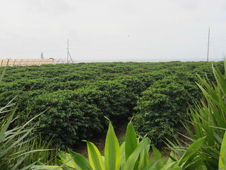
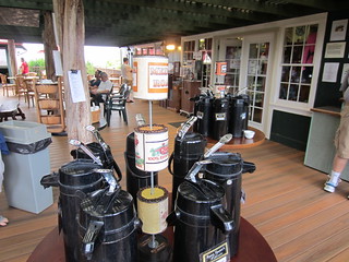
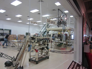
Kaua’i Coffee Company produces 60% of the state’s coffee. Although I don’t like coffee I took the tour of how it is made and sampled some (quite palatable with enough Equal.)
Koloa.
The western coast was dull.
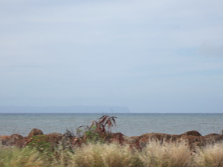

Told you so. (On the horizon you can see Ni’hau; the westernmost Hawaiian Island which is privately owned.)
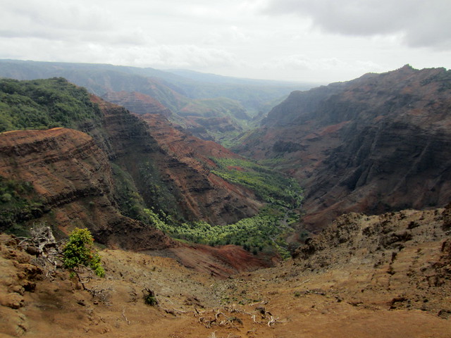
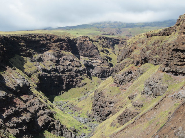
Inland from the western coast and oriented north to south is Waimea Canyon.
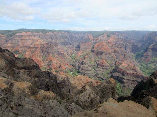
It joined Grand Canyon and Carlsbad Caverns as natural wonders that are too big to comprehend.
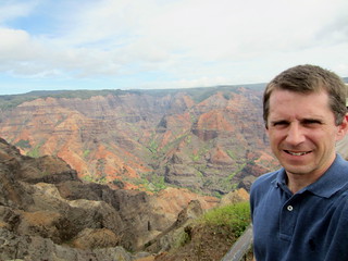
This is midway up the canyon.
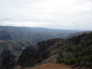
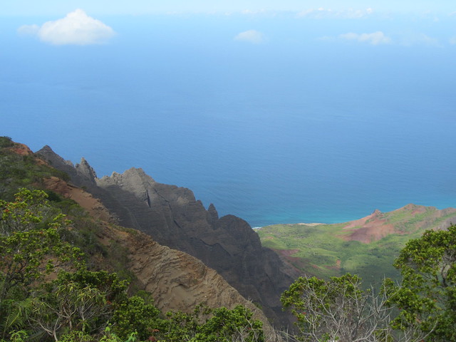
At the end of the canyon on one side you can see the Pacific...
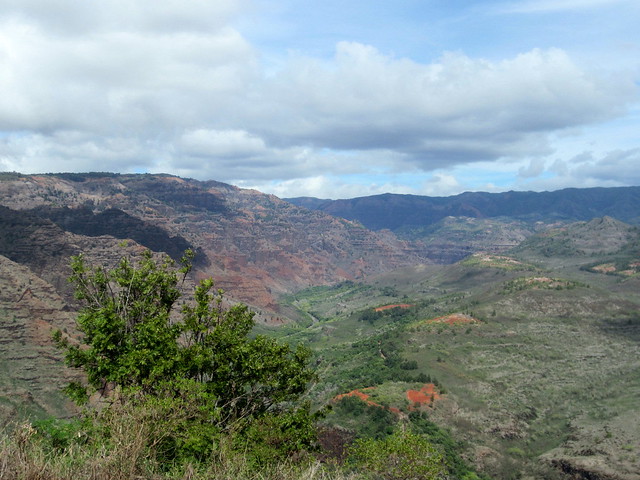
...And the other side the end of the canyon.
On the way back ambled around unruffled Waimea shopping for the nieces and eating.
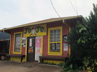
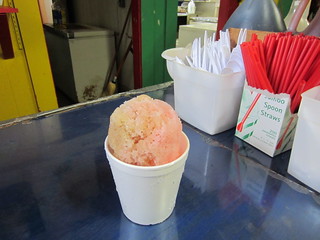
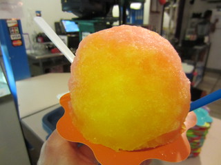
Jo Jo’s Shaved Ice didn’t get much better inside. I went with tamarind, guava and lychee.
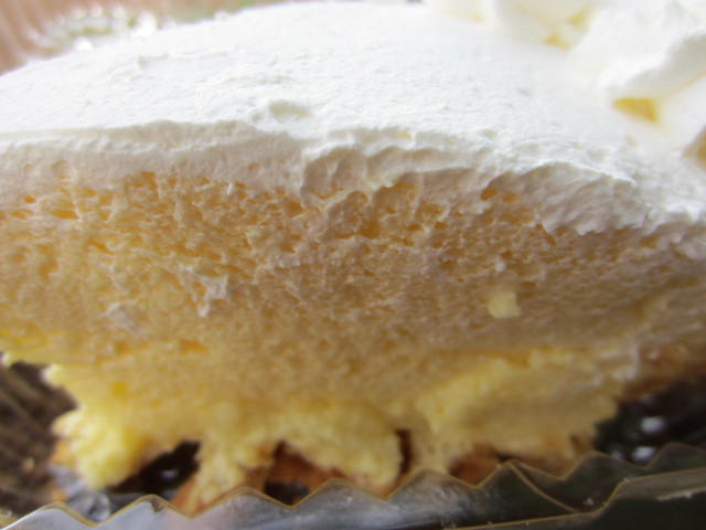
Lilikoi pie is the island dessert of choice.
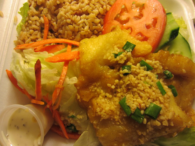
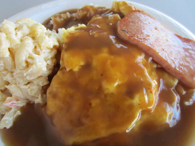
The plate lunch is the quintessential island meal. In this case it was made healthier with mahi, salad and brown rice. It is usually a fried protein, scoop of white rice and scoop of macaroni salad.
Wednesday, November 21st, 2012
The radio station was reading horoscopes.
A breakfast of Mango Hot Cakes at Dani’s, another local’s place in Lihue.
Lihue, Kaua’i to Honolulu, O’ahu. 30 minutes from Honolulu, O’ahu to Kona, Hawai’i.
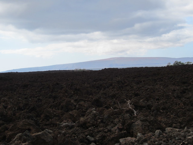
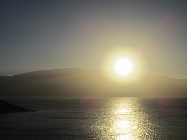
Stepping off the plane onto the tarmac in Kona, Hawai’i was like another planet. Volcanic eruptions cast a steady haze over the lava rock covered surroundings.
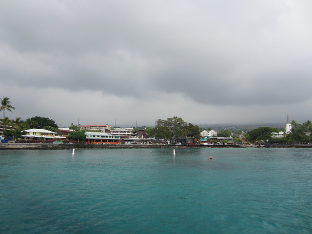
After checking into the Marriott King Kamehameha hotel walked down to the water to get a view of Kailua. (Yes, I like repeating Kamehameha too.)
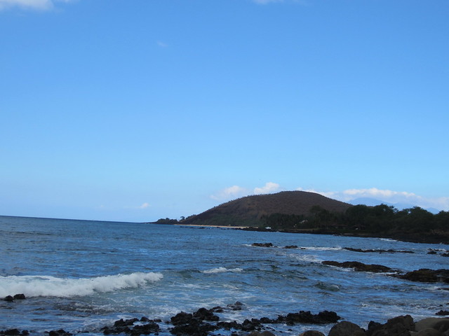
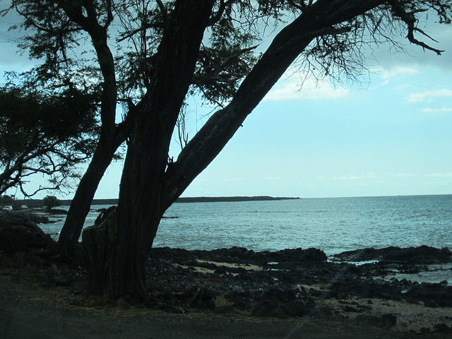
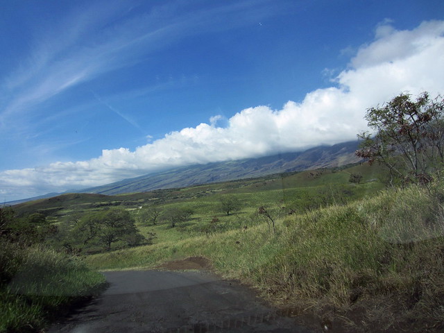
Driving north the bleak landscape was a contrast to the Garden Isle of Kaua’i.
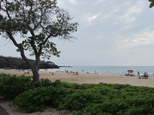
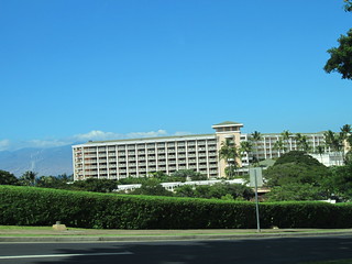
Anaeho'omalu Beach is part of a pristine development of hotels, condos and high end shops.
A tad bit more north is Hapuna Beach State Recreation Area.
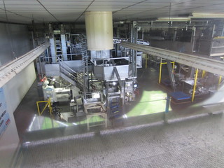
Moving onto the NW peninsula Hamakua Macadamia Nut Factory had samples and a factory tour.
The terrain transitioned from lifeless to the evolution of greenery.
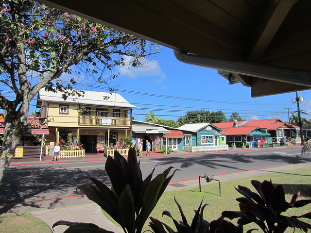
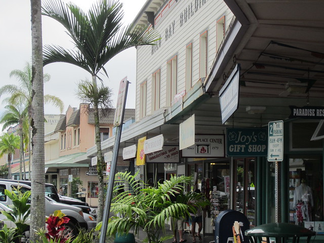
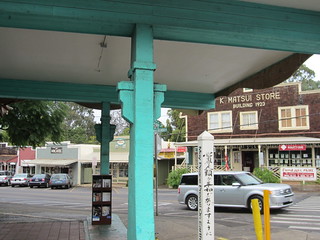
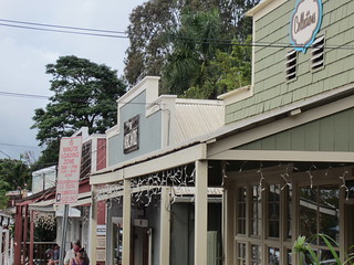
At the tip of this peninsula small Hawi exuded charm with its old buildings renewed for tourists.
Driving down the middle of this peninsula the scenery was a remarkable thriving green.
Back in Kailu to walk the village and get Shaved Ice.

Thursday, November 22nd, 2012
Headed south through Kainaliu.
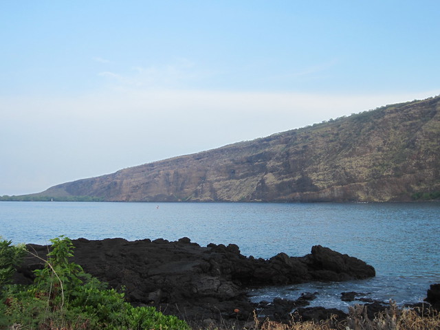
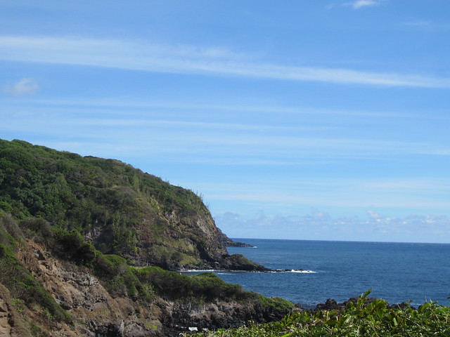
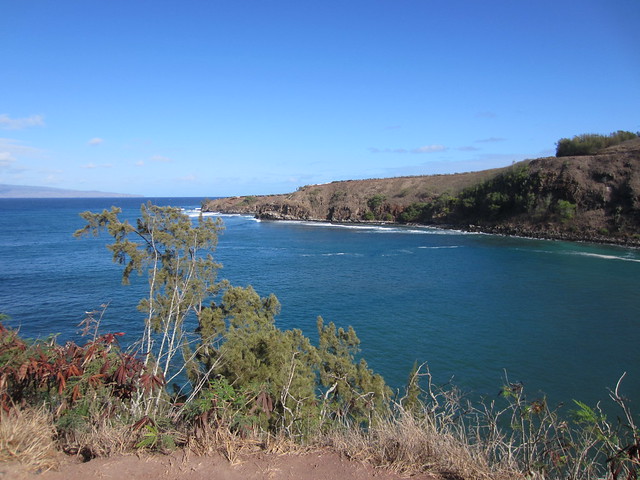
Navigated a one lane road dropping down the mountainside to see the captivating Kealakekua Bay.
Royal Kona had a view of their facilities and a tasting room (quite palatable with enough Splenda).
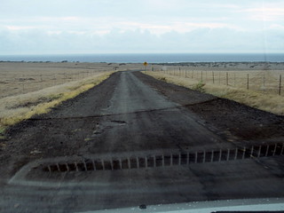
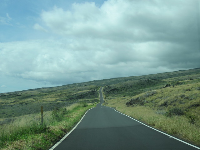
After making the curve and heading east, a turn south off highway 11 and down a 22 mile lumpy/narrow road and a little hiking over lava rock gets you to Ka Lae. This is the southernmost point in the United States.
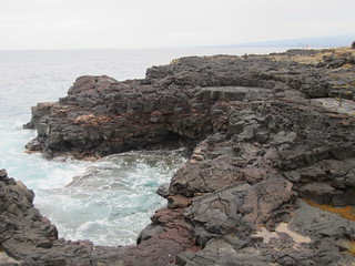
Seeing a sliver of rock going out into the ocean I figured this was the most southern point so after timing the waves scrambled out to get a picture.
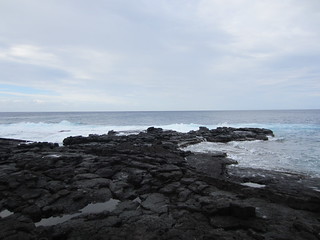
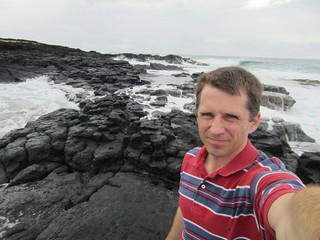
Always knew lava rock has tremendous grip. Learned an important lesson on this foray- when wet it is slipper than ice.
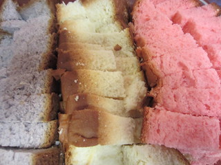
Punalu’u Bake Shop specializes in sweetbread. Purple is taro, yellow is traditional and pink is guava.
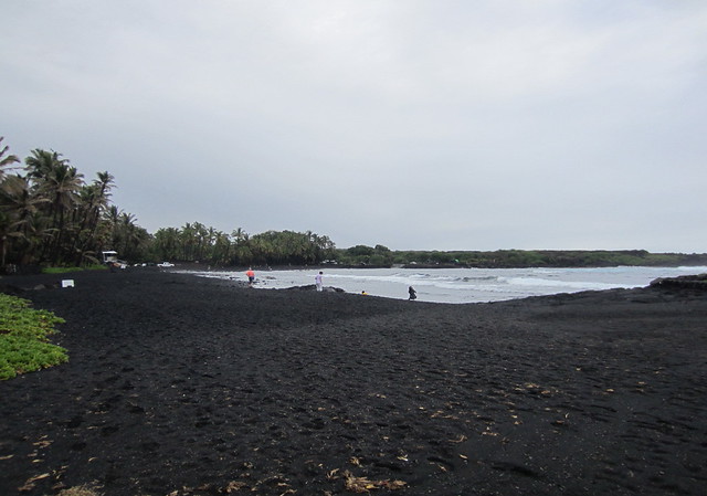
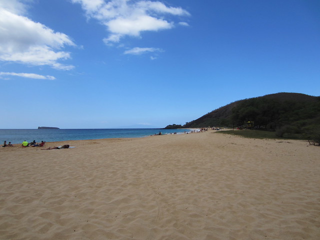
Punalu'u Beach has black sand from volcano cinders.
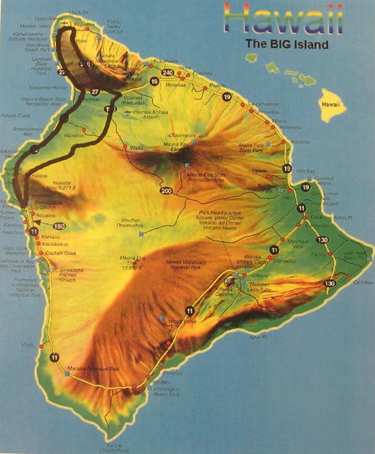
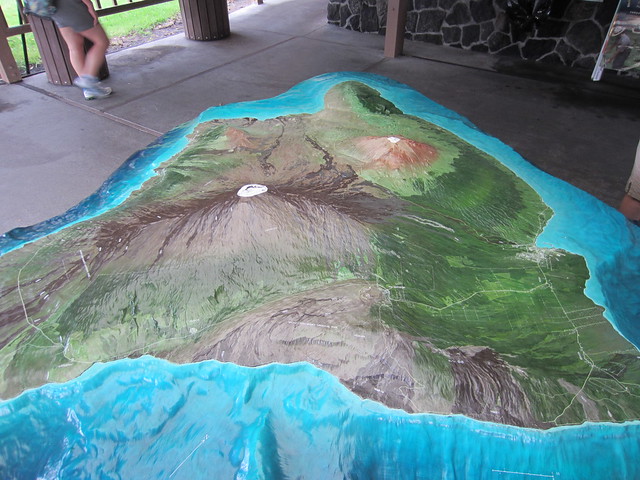
Hawaii Volcanoes National Park covers a disjointed section of south central Hawai’i. Continuous volcanic activity changes what is accessible based on lava flow, unsteady ground and toxic acid gasses.
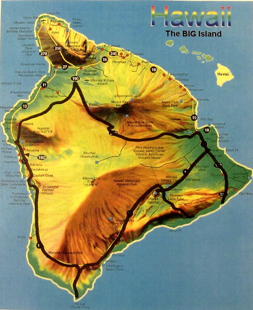
This topographical map does a fantastic job showing the entire island with the National Park in the lower center.
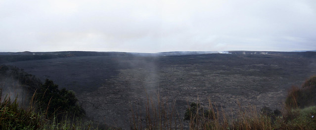
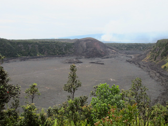
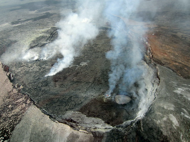
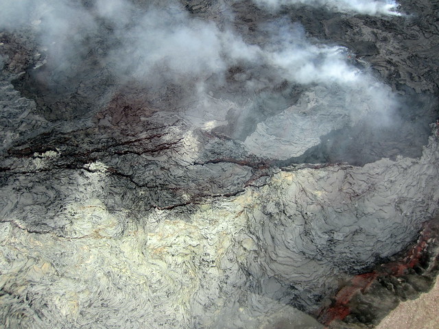
Kilauea Caldera.
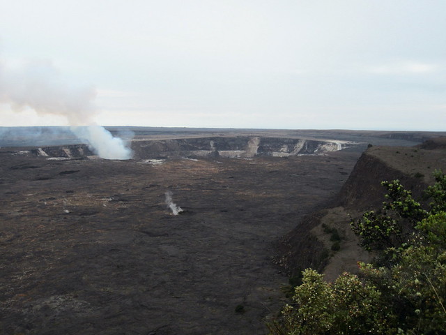
Halema’uma’u Crater.
On November 14th, 1959 Kilauea Iki erupted creating a lava lake 400 feet deep.
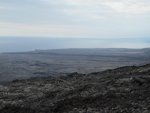
The Road of the Craters spirals 22 miles towards the ocean with views of lava flows from various eruptions.
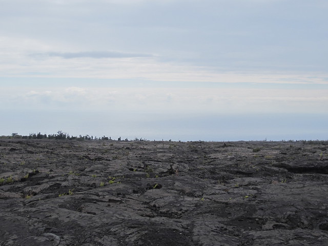
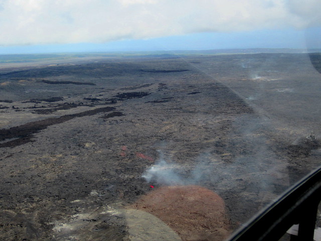
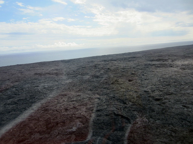
At the end you can see the new land formed from lava hitting the water, cooling and solidifying.
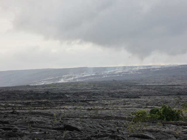
Learned from a park ranger you could exit the park, go to this remote end of the SW part of the island to see the current lava flow. This would appear red at night.
Friday, November, 23rd, 2012
Before heading out of Kailua grabbed some Paniolo Sweet Corn Bread from Buns in the Sun bakery.
Headed northeast through ranch town Waimea and then continued east witnessing the fertile terrain and ocean beyond to the north.
Maname Bakery for a Honey Raisin Bran Muffin.
Honoka’a.
Tex Drive In’s famous Malasadas are square and filled; these with pineapple and strawberry.
Loco Moco is the most traditional Hawaiian breakfast composed of eggs, SPAM, mac salad, rice and gravy.
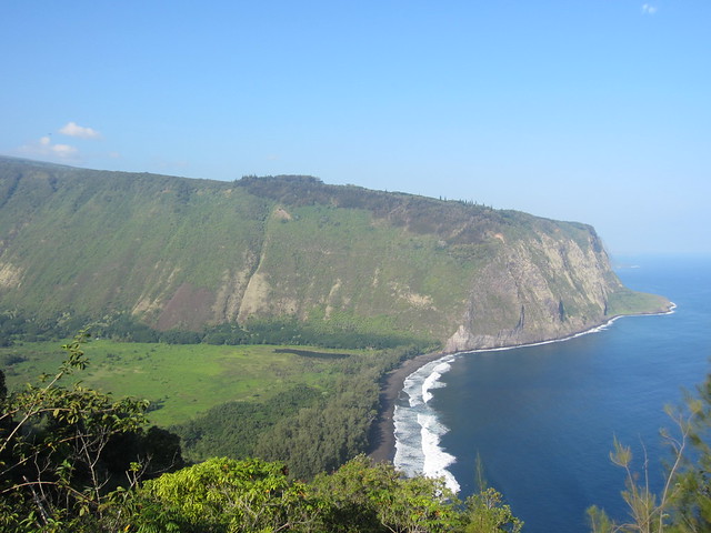
Waipio Valley on the NE coast.
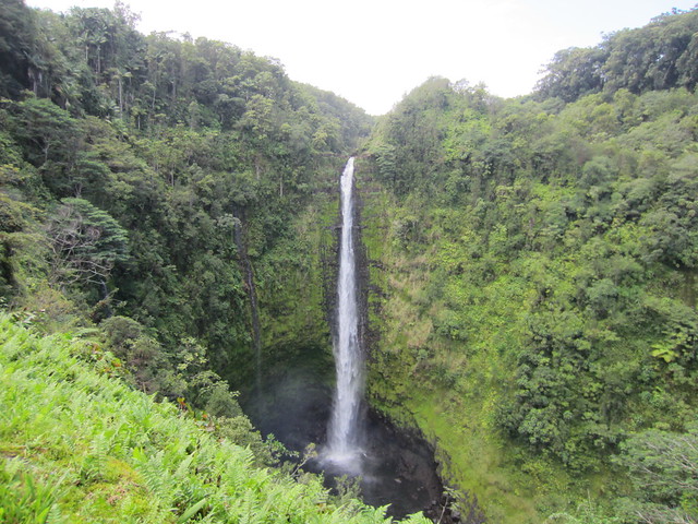
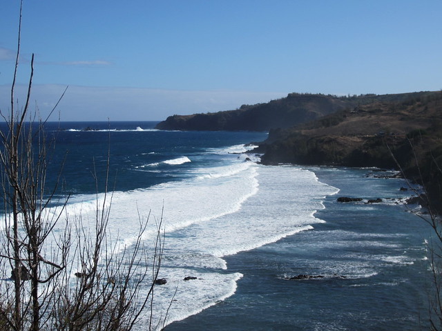
Continued south on the east coast viewing a cacophony of Mother Nature at her best.
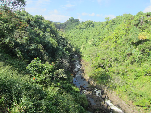
Akaka Falls.
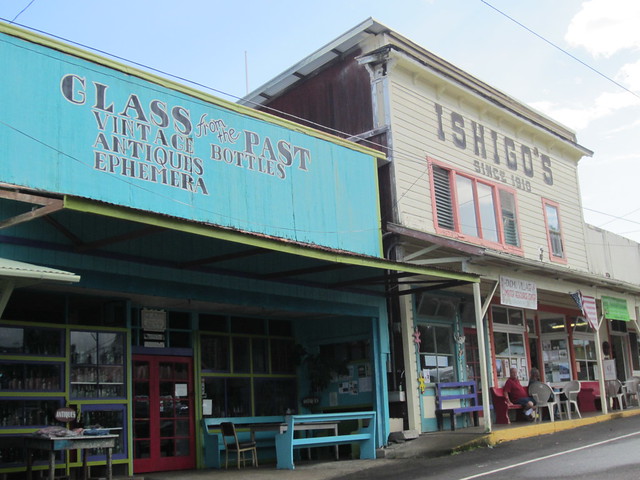
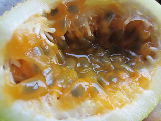
In wooden sidewalk Honomu got a Azuki Bean Manju and a passion fruit at a nearby farm stand.
With 55,000 people Hilo is Hawai’i's largest city.
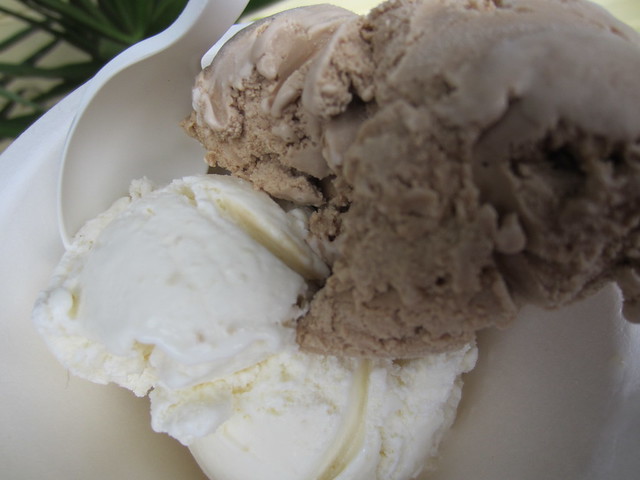
Well out of town is Hilo Homemade Ice Cream for Ginger and Kona Coffee.
With 2,500 acres Mauna Loa is the preeminent macadamia nut purveyor.
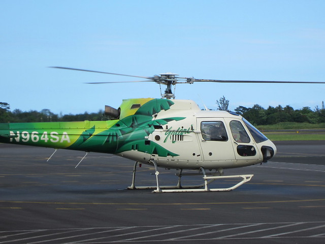
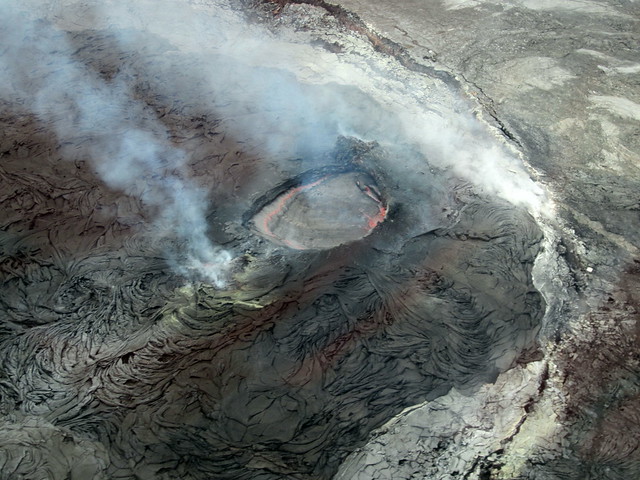
With a need to better understand the volcanoes boarded this helicopter for a fantastic voyage.
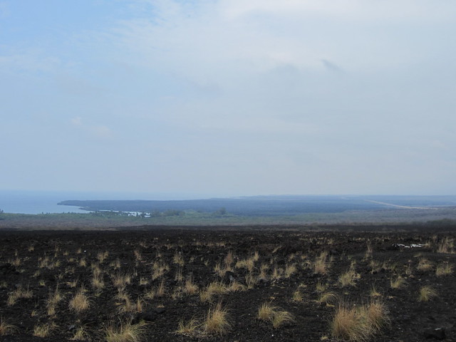
After passing papaya mangroves we soon were over the endless carpet of lava.
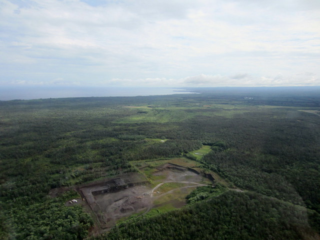
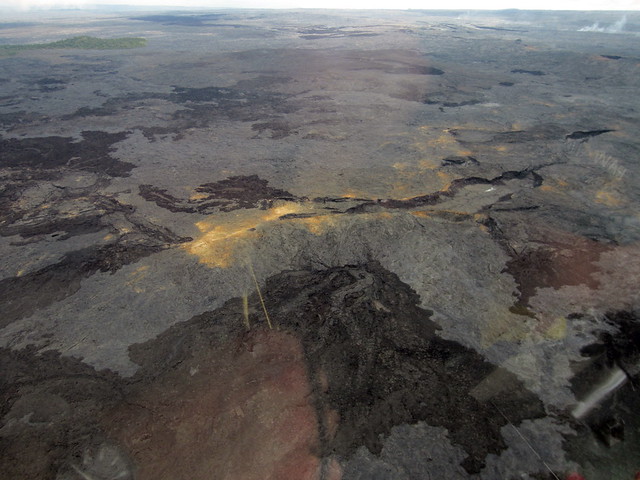
Soon the currently active was below us.
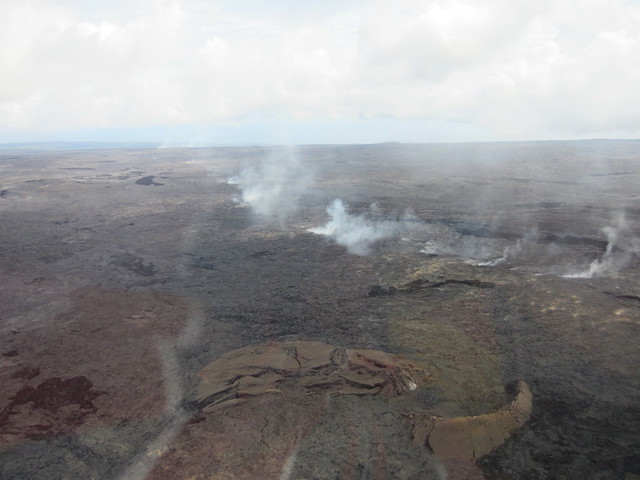
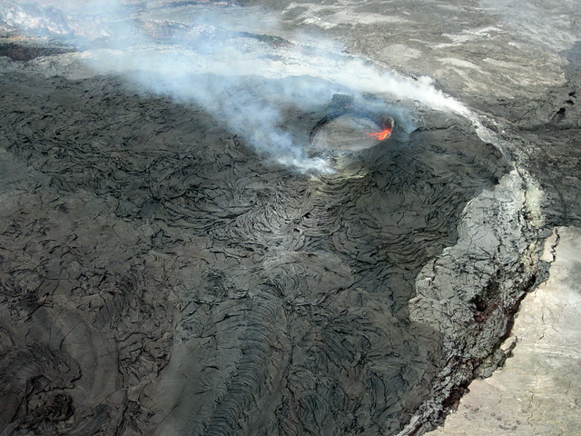
Banking tightly around it allowed a spectacular view of this otherworldly surface.
Just imagine the intensity lurking below.
The we started flying south.
This show how steeply he was banking for views. (Look at the horizon.)

This area was a $38 million development of homes and hotels.
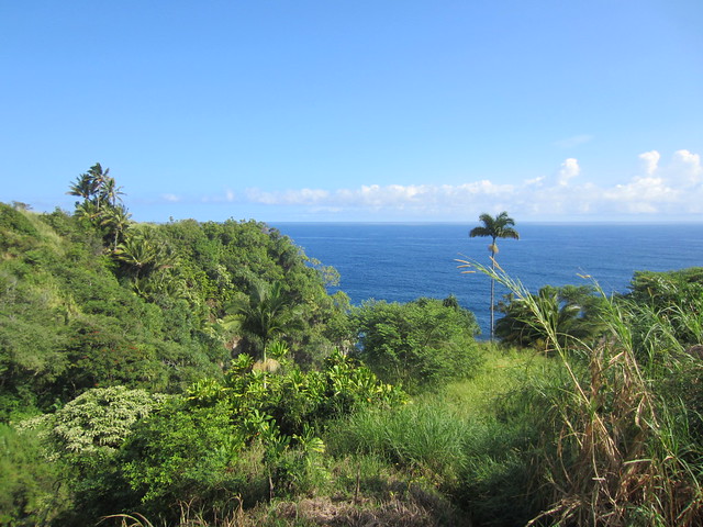
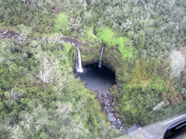
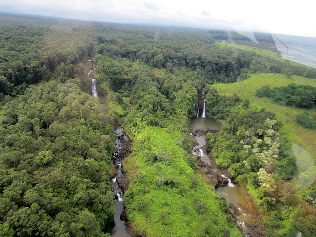
Heading north showcased jungles not touched by man. Everywhere you looked were rivers broken by cascading waterfalls.
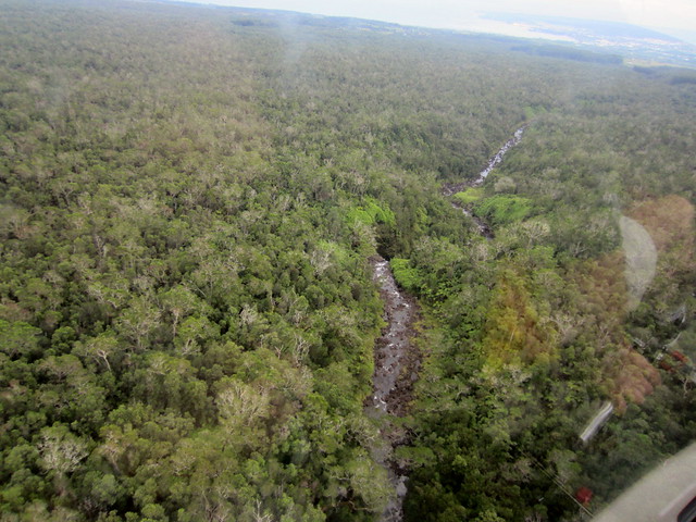
Back on Saddle Road to head back to Kailua. Gave up with pictures trying to capture the incredible views and just soaked it in while listening to an audio book by Monica Crowley.
Dinner was at the popular ocean side Huggo’s On The Rocks.
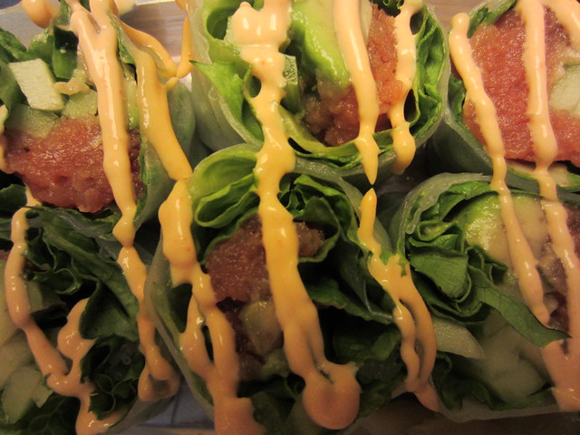
Locally Caught Ahi Tuna Poke Tower
With avocado, seaweed, frisee lettuce, exotic chips
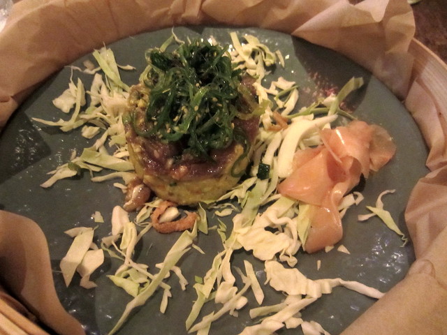
There is nothing better than quality raw Ahi.
Saturday, November 24th, 2012
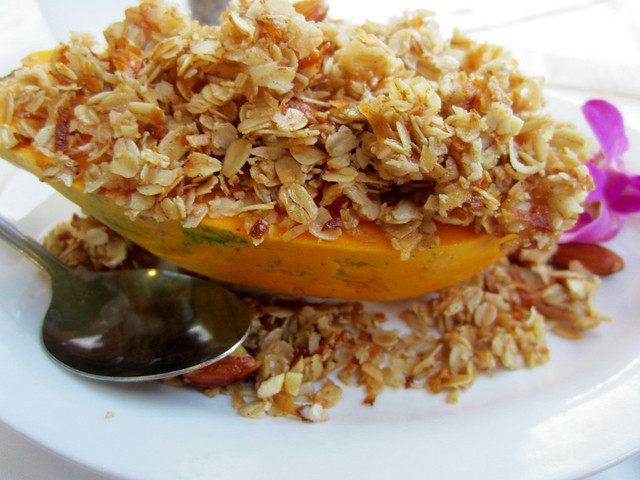
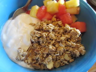
Sitting underneath palms and with a view of the ocean breakfast was a local papaya filled with yogurt and granola. Best breakfast of the trip. And the cheapest.
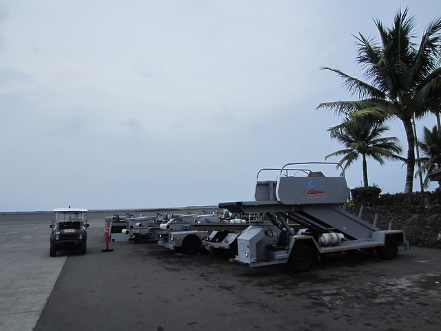
Getting to the airport with time to accommodate ticketing and TSA I found this was the terminal and plane
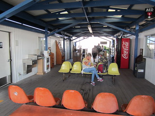
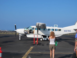
The plane seated 7. It wasn’t my first time in a small plane, just the first time it wasn’t anticipated.
35 minute flight from Kona, Hawaii to Kahului, Maui.
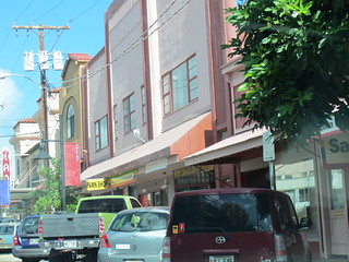
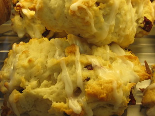
After checking out Kahului headed over to Market Street in Wailuku and then to Maui Bake Shop for a Coconut Cranberry Scone.
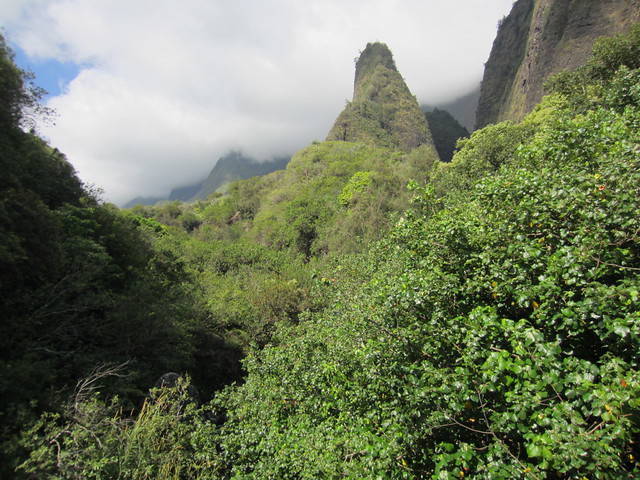
Just SW of these adjoining cities is Iao Valley.
Heading south stopping at Maui Plantation.
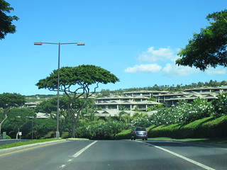
In south Maui started on the south end and worked my way north. Wailea proved to be a well-planed, meticulous development including Fairmont and Four Seasons.
The next town south Makena had some upper end resorts which then thinned out to mostly desolation with the occasional mucho bucks home.
The road became a lane and a half wide as it turned east and crossed over former lava flows.
Heading back having seen cars along the road I parked and walked through a woods to find a well-known secluded beach.
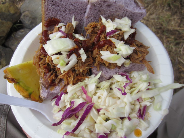
A roadside truck for more fun in local food.
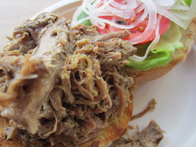
Kalua Pork Sliders on taro buns. I gave kudos to the chef by saying, “I’m stuff silly. Good job!” He grinned proudly.
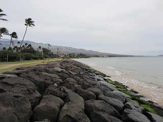
Continuing north along the coast Kihei was your standard issue beach tourist town. Found the hotel, changed and headed back to lay on that secluded beach. Reading in the warmth on the pillowy sand.
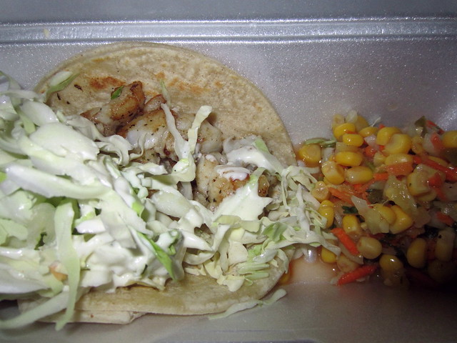
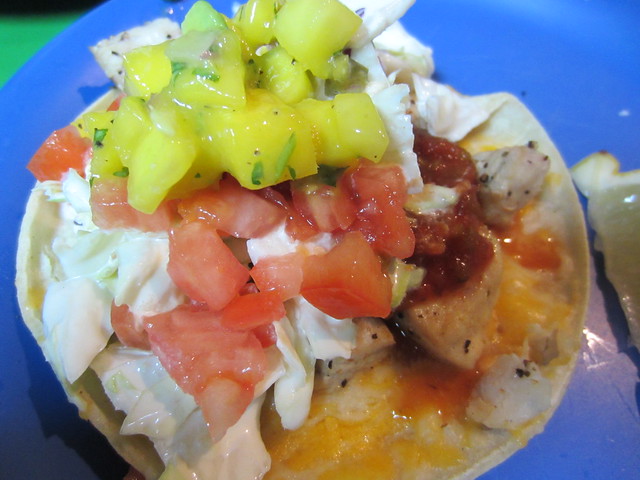
Grilled Fish Taco from the island chain Maui Taco.
Sunday, November 25th, 2012
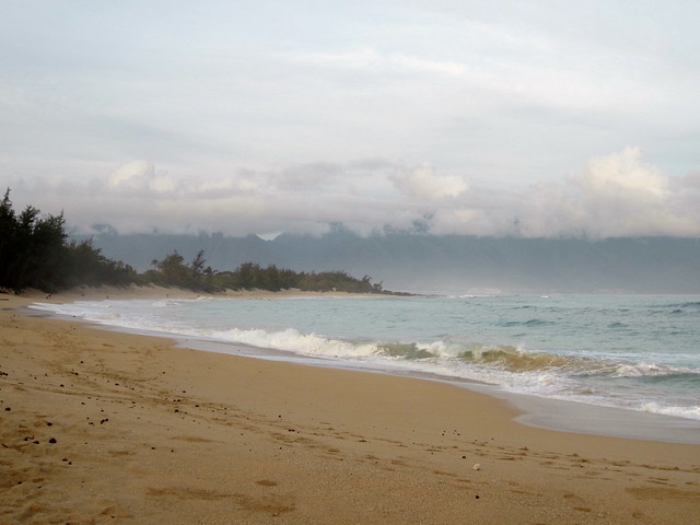
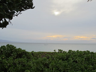
The north coast at daybreak.
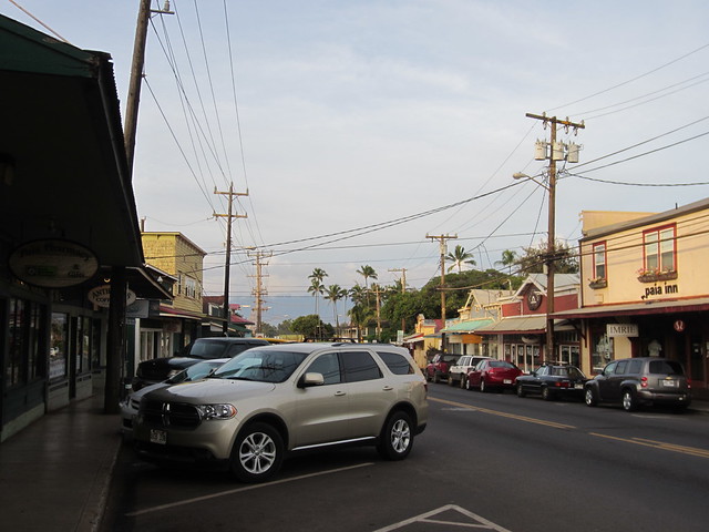
Paia is an old sugar town and now supports surfers and tourists.
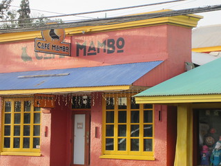
Café Mambo for a healthy breakfast.
Moana Café & Bakery for a Ginger Carrot Cookie.
Paused to watch surfers.
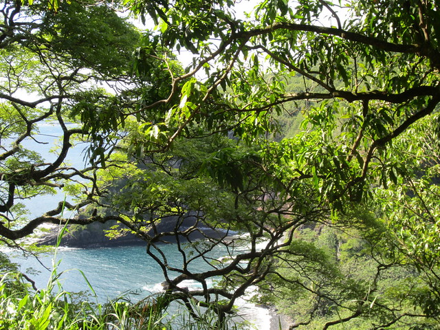
The Road to Hana is a much hyped stretch from Paia south along the eastern coast to Hana. Along its 52 miles ithas 617 curves and 56 bridges.
Sharp curve, one way bridge, climb, curve, sharp curve.
Repeat for 2 hours for these views.
And stop at a roadside stand for Banana Bread.
The bay at Hana.
If you go to the southern part of Hana, park by the community center, walk across a field, climb a berm and carefully descend a bluff you arrive at the red sand beach for this view.
Drivers of The Road to Hana invariably turn around at Hana since a paved road doesn’t loop back. However I wanted to find Charles Lindbergh’s gravesite on the south shore. Now heading west the road became one and a half lanes wide. And the views were better than the previous 56 miles.
And the blind curves became numerous, as did the views.
The thick jungle cascaded down the mountain to jagged cliffs.
The road became narrower and pavement ended.
It became some of the most captivating vistas I’ve seen anywhere, accentuated by the awareness of remoteness.
Soon the jungle ended and the expanse was enthralling.
Pavement returned.
As the road turned north civilization returned and I stopped at the Ulupalakua Ranch for a Kalua Pork Sandwich.
Centrally located, Makawao’s rough buildings house upmarket boutiques.
Another drive through Kihei and Wailmea and more sashimi for dinner.
Monday, November 26th, 2012
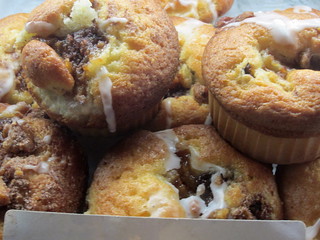
Drove back to central Maui making a slight detour back through Makawao to the Komoda Store and Bakery for one of their famous Cream Puffs.
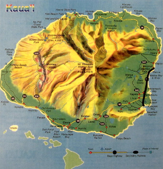
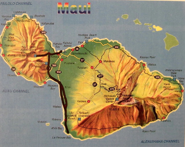
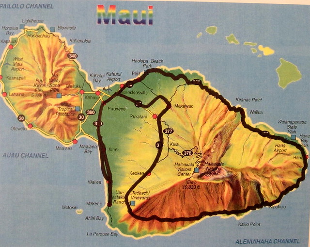
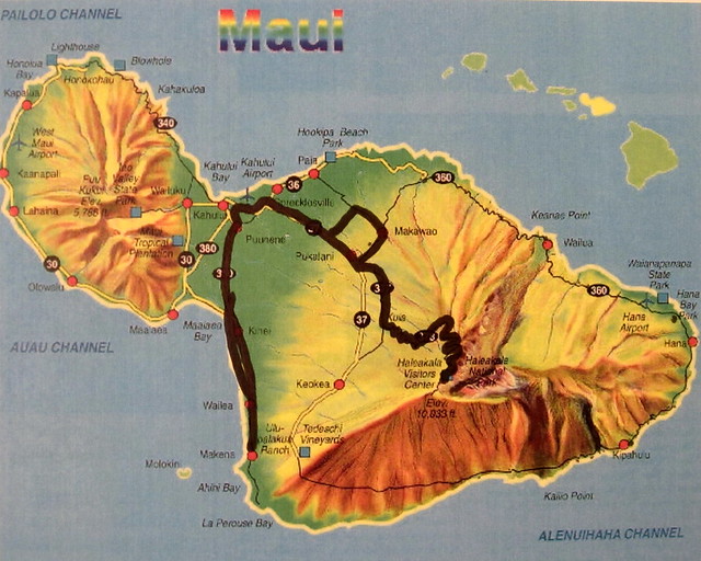
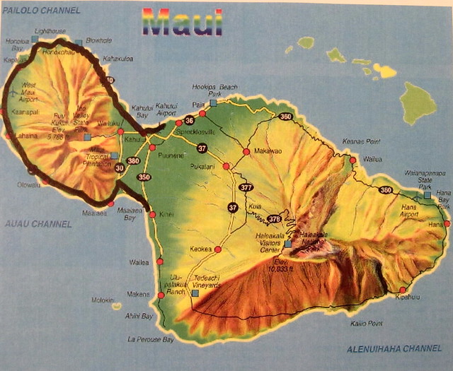
This map shows Maui highlighting this morning’s drive up Haleakala.
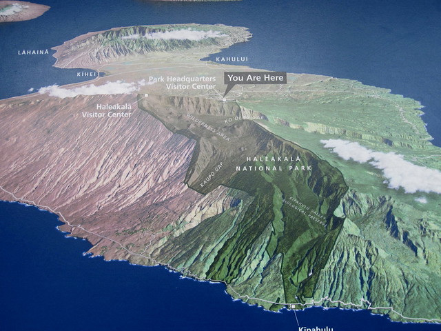
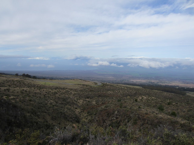
It’s a 26 mile drive to the top of Haleakala. The trees quickly disappear leaving spacious views as the altitude increases.
Below is Makena, Wailea and Kihei along the south coast.
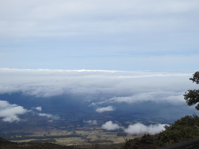
Arriving at 9,000 feet is the first chance to see east into the crater and the otherworldly scene of red rock, smooth plains and jagged peaks created first by volcanoes and then centuries of erosion.
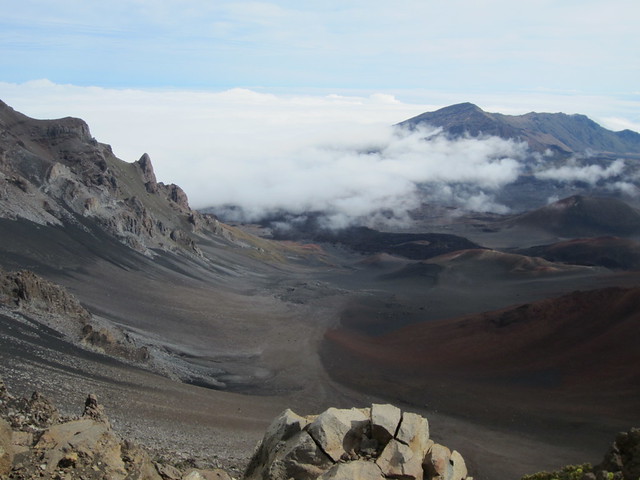
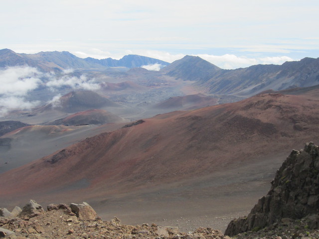
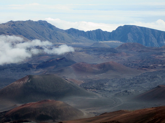
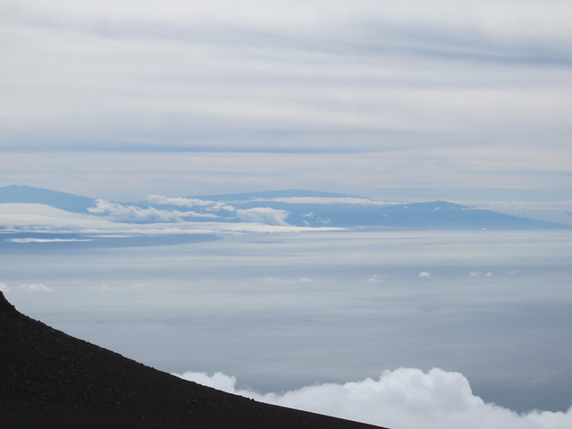
The peak at 10,000 feet provides a view of the island of Hawai’i.
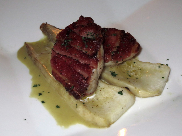
Nestled in sugar cane fields is the gourmet oasis Hali'imaile General Store, helmed by acclaimed chef Bev Gannon.
Bev’s Chopped Seafood Salad
Lobster, crap and shrimp over Kula mixed greens with avocado, bacon, cherry tomatoes, grilled pineapple, bleu cheese
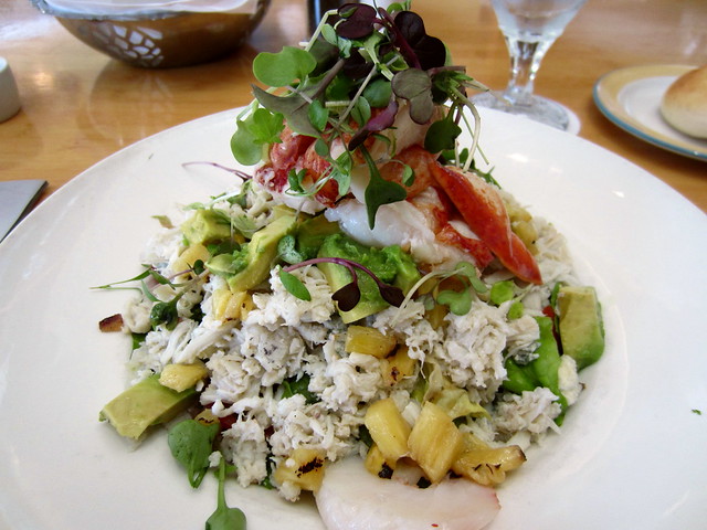
It could have used less bleu and more pineapple.
Back to Kihei to work for a few hours and then amble down the waterfront. Watching the crabs on the rocks, stopped at a craft market, watched a beach volleyball game, shopping at the outdoor high-end Wailea Mall.
Located in one of the many Kihei strip malls Coconut’s Fish Café is highly touted for its fish tacos by everyone from Yelp to Tripadvisor to Maui magazines.
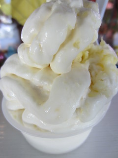
Candidly, it was quite bland. Headed next door to Peggy Sue’s for a Haupia cone (coconut custard). That was good.
Tuesday, November 27th, 2012
On the way to west Maui looking back at the south Maui.
The road turns north and soon the resort towns fill up the windshield
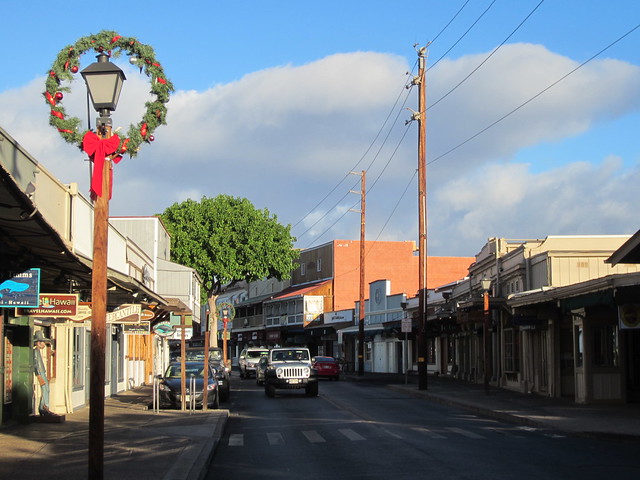
Lahaina was once the capital of the Hawaiian kingdom.
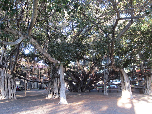
This is the largest Banyon Tree in the world. As these tree’s branches spread out it drops additional trunks.
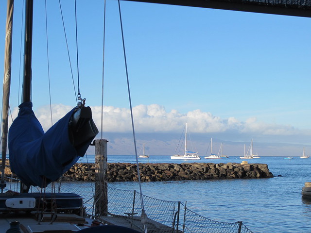
Lahaina is the main port for water activities.
Breakfast at the hidden ramshackle Sunrise Cafe
Outside of town in a small industrial park for an Apple Coffee Cake from The Bakery.
Kaanapali.
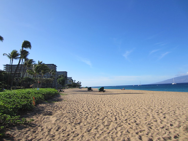
Napili.
As the western coast culminates the resorts end with the Ritz and soon nature is the main attraction.
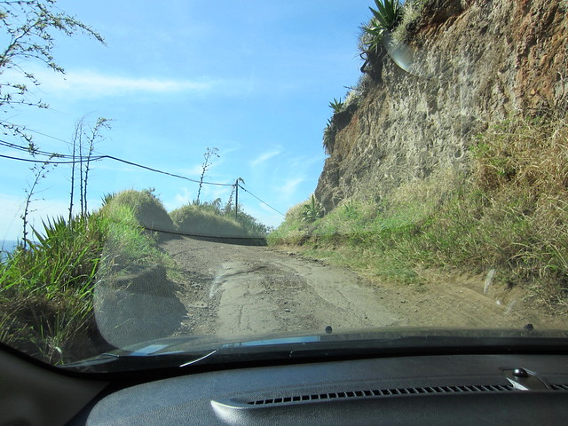
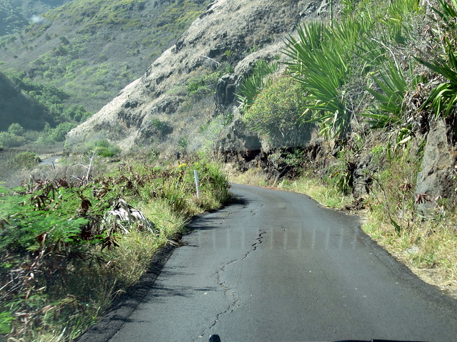
The road went to one lane, but still 2 ways; and was in poor condition.
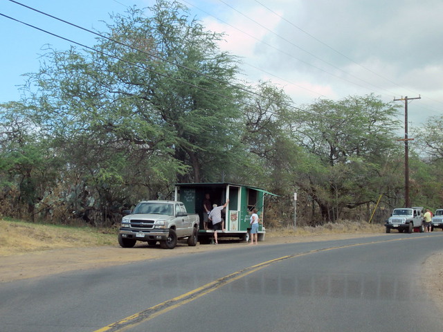
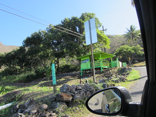
You never know what you’ll find in the middle of nowhere. Julia was selling her Banana Bread.
Back in Wailuku this stretch of Highway 340 along the bay has a few trucks. Geste is purported to have the best shrimp.
Spicy Pineapple Shrimp with the ever present rice and mac salad; this time with crab. I have that to a stray cat.
Worked for a few hours before heading to the airport.
7 hour flight from Kahului, Maui to...
Wednesday, November 28th, 2012
...Dallas. 2 hour and 20 minute flight from Dallas to Milwaukee. Rush home, work for 5 hours, up for 38 hours. Whew.
Every state.